


DJI Zenmuse L2 LiDAR Camera
DJI Zenmuse L2 LiDAR Camera

Couldn't load pickup availability


- Description
- Specifications
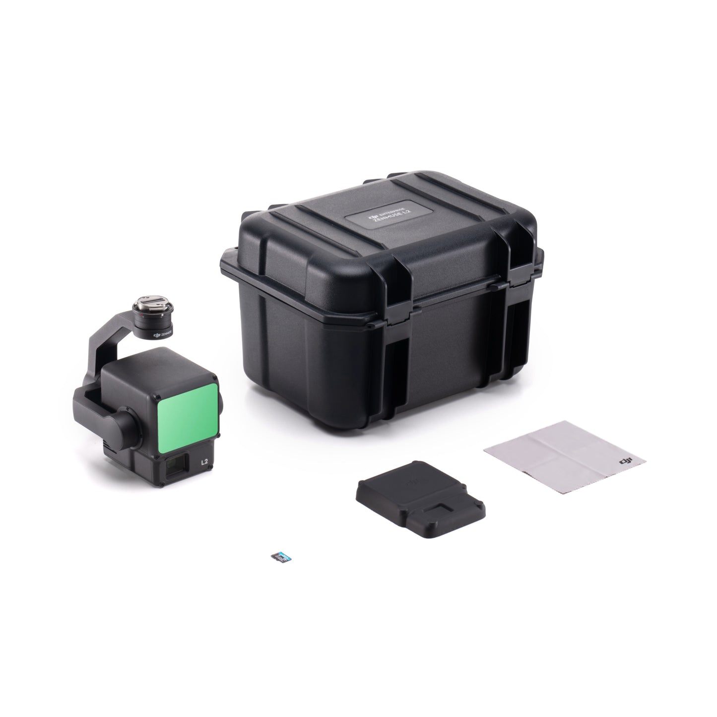
- In the Box
- FAQ
DJI Zenmuse L2 LiDAR Payload: Real-time mapping power for enterprise-level precision
The DJI Zenmuse L2 combines advanced LiDAR technology, a 20 MP RGB camera, and a stabilized 3-axis gimbal into one streamlined payload. Designed for the DJI Matrice 350 RTK and Matrice 400 series, it delivers accurate, colorized 3D data in real time.
Professionals across surveying, construction, and infrastructure inspection rely on the L2 for its centimeter-level accuracy, efficient workflow, and reliable performance in diverse conditions.
Key technical specifications and advantages
- ±2 cm LiDAR ranging accuracy: Delivers precise survey data for critical operations.
- Dense point-cloud generation: Produces up to 1.2 million points per second.
- Integrated RGB camera: Captures 20 MP images with wide 84° field of view.
- Extended range capability: Detects targets up to 450 m at 50% reflectivity.
- Three-axis stabilization: Maintains steady orientation during dynamic flight conditions.
- IP54 environmental rating: Performs reliably in dust and light rain.
- Lightweight 905 g build: Enhances aircraft endurance and flight efficiency.
- 28 W typical power draw: Balances performance and operational stability.
Advanced LiDAR sensing and integrated imaging
Featuring a 905 nm laser with ±2 cm ranging accuracy and multi-return scanning up to 1.2 million points per second, the L2 captures dense, high-fidelity point clouds.
The 4/3-inch CMOS camera provides 20 MP imagery and an 84° field of view for accurate colorization. With a 905 g weight and IP54 rating, it balances portability and durability for professional missions.
Streamlined processing and mission accuracy
Fully integrated with DJI Terra, the L2 supports real-time visualization and multiple export formats for quick turnaround on site.
At 150 m, horizontal and vertical accuracy reach 5 cm and 4 cm respectively, providing trusted data for engineering, planning, and environmental applications. The SkyPort mount ensures secure installation and smooth interfacing with DJI enterprise aircraft.
System integration and workflow compatibility
- Compatible with DJI Matrice 350 RTK and Matrice 400 series platforms.
- Connects through the DJI SkyPort interface for plug-and-play use.
- Operates within DJI Terra software for data visualization and export.
- Supports multiple formats including PNTS, LAS, PLY, PCD, and S3MB.
- Enables IMU and GNSS fusion for precise geospatial data alignment.
Mission-driven applications and industries
- Survey and mapping: Produce high-accuracy terrain and surface models.
- Powerline inspection: Identify vegetation encroachment and clearance violations.
- Forestry management: Analyze tree heights and canopy density effectively.
- Construction projects: Track progress and validate earthworks quantities.
- Mining operations: Generate precise volume and stockpile measurements.
- Infrastructure development: Support design of roads, bridges, and utilities.
- Environmental survey: Monitor terrain changes and erosion patterns safely.
- Academic research: Capture geospatial data for scientific field studies.
Engineered for enterprise performance
The DJI Zenmuse L2 combines LiDAR accuracy and RGB imaging to deliver true colorized 3D models with unmatched clarity.
Compact, efficient, and fully integrated into DJI’s enterprise ecosystem, it gives operators the speed and accuracy needed for professional mapping and survey work. Built for reliability, the L2 is a trusted payload for mission-critical data collection.
Order from Dronefly today — the West Coast’s trusted enterprise UAV source.

