


DJI Zenmuse L2 with Dronefly Care Plus
DJI Zenmuse L2 with Dronefly Care Plus

Couldn't load pickup availability


- Description
- Specifications
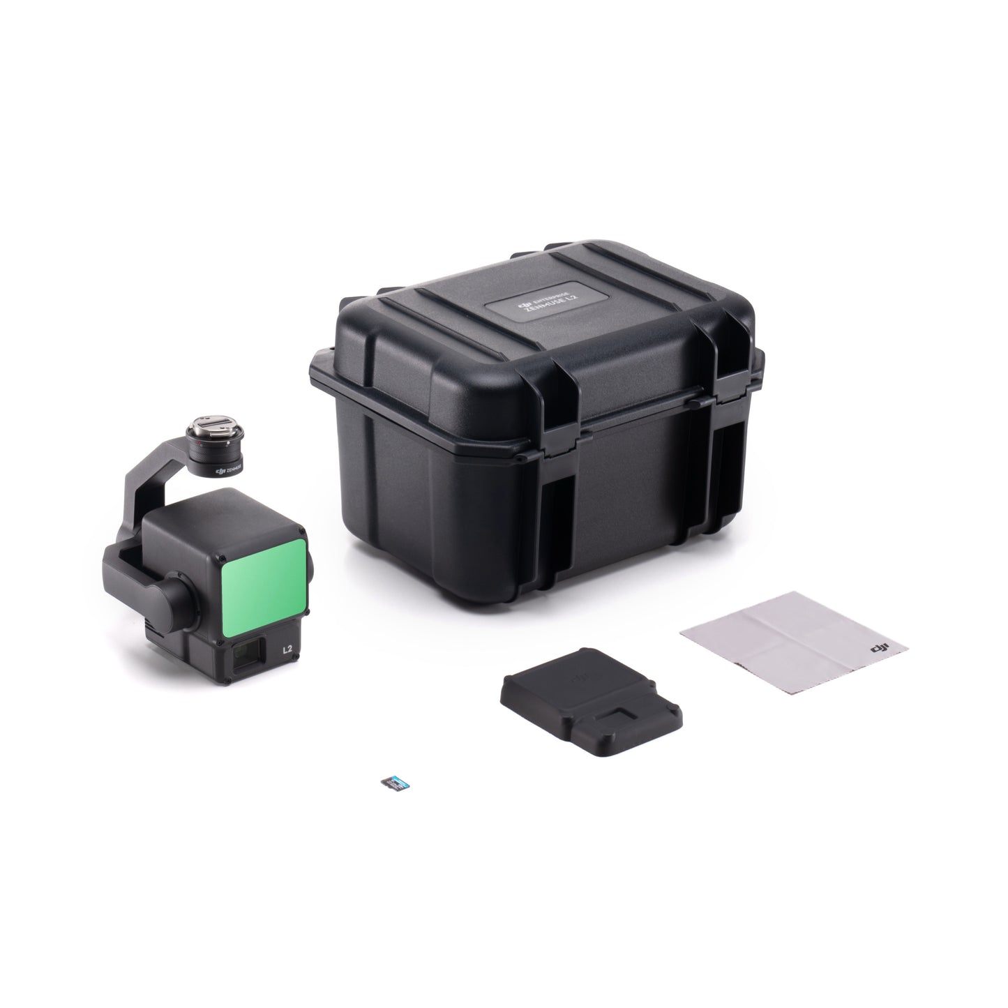
- In the Box
- FAQ
DJI Zenmuse L2: Professional LiDAR payload for large-scale mapping operations
The DJI Zenmuse L2 is an enterprise-grade LiDAR payload designed for surveyors, engineers, and mapping professionals who require accurate and repeatable data collection. Combining a frame-based LiDAR system, high-accuracy IMU, and a 20 MP RGB mapping camera, it delivers dense point clouds suitable for complex terrain and infrastructure projects.
Built for DJI Matrice 300 RTK, Matrice 350 RTK, and Matrice 400 aircraft, the Zenmuse L2 supports extended mapping missions in challenging field conditions. This new unit includes Dronefly Care Plus for added operational coverage.
Integrated LiDAR and mapping capabilities
- Frame-based LiDAR: supports up to five returns for vegetation penetration.
- High point rate: up to 1,200,000 pts/s for detailed terrain modeling.
- Long detection range: reaches up to 1476 ft at 50% reflectivity.
- LiDAR precision: 2 cm ranging accuracy at 150 m.
- High-accuracy IMU: supports precise trajectory calculation.
- 20 MP RGB camera: enables accurate point cloud colorization.
- IP54-rated housing: supports operation in dust and light rain.
- Wide temperature tolerance: operates from -4 to 122 °F.
Built for accurate mapping performance in the field
The Zenmuse L2 is designed to maintain accuracy across demanding survey conditions. When used with RTK FIX, it delivers 5 cm horizontal and 4 cm vertical accuracy at 150 m, supporting professional mapping requirements. The combination of repetitive and non-repetitive scanning modes allows operators to adapt flight profiles for corridor mapping or wide-area surveys. With a maximum detection range of 1640 ft, the L2 reduces flight time while maintaining dense data coverage across large sites.
Efficient data collection for professional workflows
During field operations, the Zenmuse L2 enables efficient data acquisition with reduced rework. Multi-return LiDAR improves data completeness in vegetated areas, while real-time point cloud coloring supports in-flight validation. The integrated RGB camera with mechanical shutter captures sharp imagery at survey speeds, supporting accurate colorization and photogrammetric reference. Post-processing in DJI Terra streamlines conversion to industry-standard formats for downstream analysis.
Hardware and software synchronization
- DJI Matrice 400: supported enterprise aircraft platform.
- DJI Matrice 350 RTK: compatible professional mapping aircraft.
- DJI Matrice 300 RTK: supported with DJI RC Plus controller.
- DJI Pilot 2: mission planning and data capture interface.
- DJI Terra: LiDAR processing and point cloud optimization software.
- Export formats: PNTS, LAS, PLY, PCD, and S3MB.
Common field applications
- Topographic surveys: generate accurate terrain elevation models.
- Corridor mapping: capture roads, rail, and transmission lines efficiently.
- Forestry management: penetrate canopy for ground surface modeling.
- Construction monitoring: track site changes over time.
- Mining operations: measure stockpiles and excavation volumes.
- Flood risk assessment: support terrain modeling and analysis.
- Infrastructure surveys: document bridges and facilities accurately.
- Urban mapping projects: produce large-area 3D datasets.
Optimized for field deployment
The Zenmuse L2 is optimized for professional mapping programs that require reliability, accuracy, and workflow efficiency. Its compatibility across multiple DJI enterprise aircraft simplifies fleet planning, while DJI Terra integration ensures predictable post-processing. Dronefly Care Plus adds protection against accidental damage, helping teams maintain uptime during intensive survey operations.
The DJI Zenmuse L2 delivers dependable LiDAR performance for enterprise mapping professionals. It is designed for organizations that rely on accurate spatial data.
Order from Dronefly today — the West Coast’s trusted enterprise UAV source.

