


GreenValley LiAir H600: Precision LiDAR Imaging for Commercial UAVs
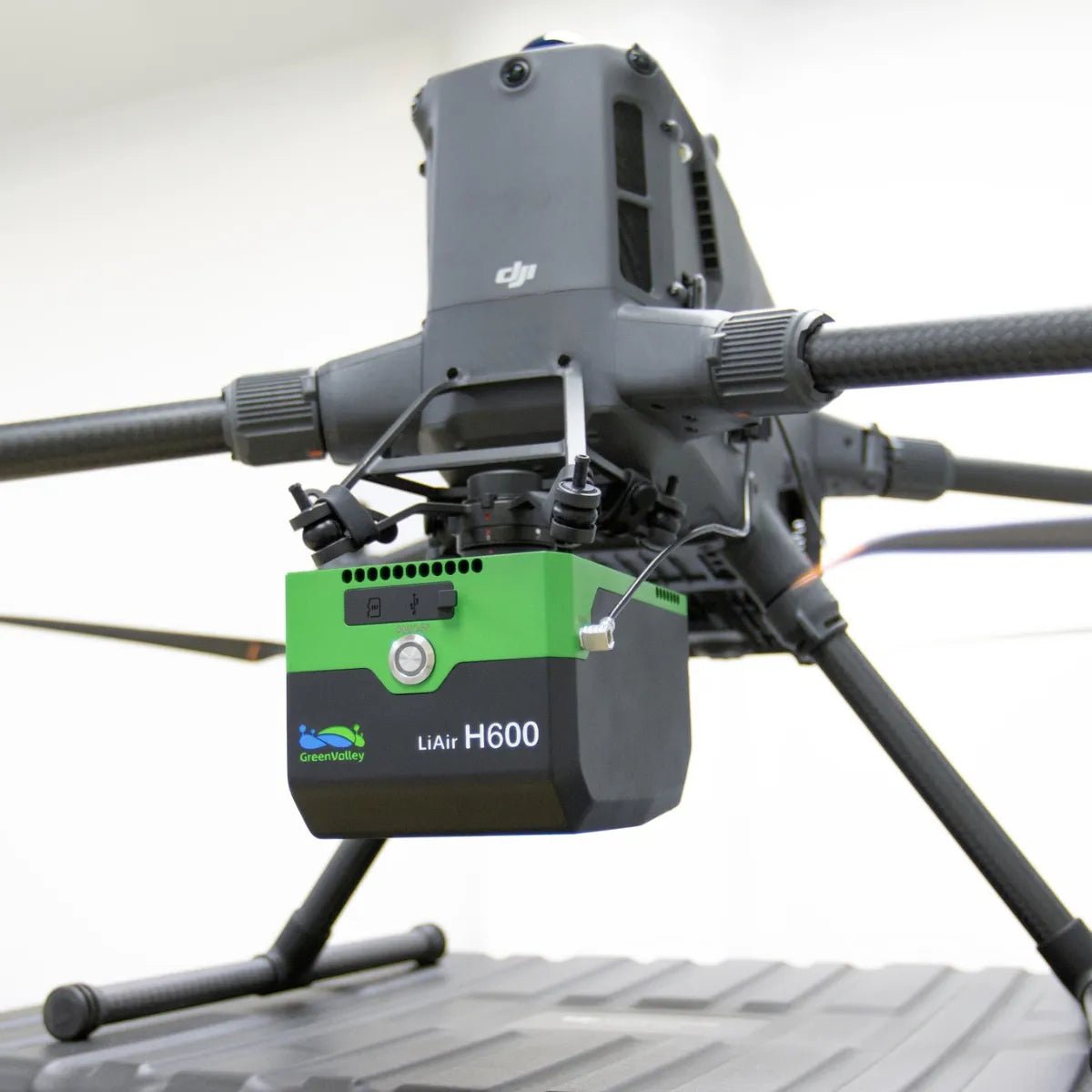
The GreenValley LiAir H600 delivers professional-grade LiDAR scanning in a lightweight, aircraft-ready package. Weighing just 1.3 kg, it integrates a high-resolution 26 MP camera, mapping-grade LiDAR, and advanced inertial navigation into a single unit optimized for fixed-wing and multirotor UAVs. With a range of up to 750 meters and industry-leading elevation accuracy, the H600 streamlines geospatial data collection for organizations in power utilities, forestry, and emergency management. Combined with GreenValley's intuitive Flight Assistant and LiDAR360 software, this system turns airborne data into decision-ready insights.
Built for Efficient Aerial Mapping and Inspection
Designed with field efficiency in mind, the LiAir H600 adapts scan settings dynamically to terrain and flight speed, preserving uniform point spacing across large, variable landscapes. Its smart flight controls trigger automatic data capture at takeoff and stop upon landing, reducing manual workload while safeguarding data completeness. The onboard 26 MP mapping camera enhances situational awareness with live 720p video and produces high-resolution orthoimagery aligned with dense point clouds.
Rapid Deployment with Minimal Setup
From simplified integration with DJI M300/M350 RTK-requiring no external GNSS antennas-to real-time diagnostics and data preview, the LiAir H600 helps operators move quickly and stay in control. Its compact form factor, intelligent scanning modes, and advanced post-processing workflow make it a trusted asset for mission-critical aerial mapping. When you need reliable 3D data under tight timelines, the H600 delivers performance without complexity.
Key Features and Benefits
- 750 m LiDAR range: Capture medium-range 3D data for diverse environments
- Lightweight design: Only 1.3 kg, supports extended flight time on UAVs
- Sub-5 cm elevation accuracy: Precise terrain mapping for professional applications
- Up to 7 returns per pulse: Accurate data capture through tree canopy or dense cover
- 550 kHz laser frequency: Enables rapid, high-density point cloud acquisition
- 26 MP camera with 4.7 cm GSD: Delivers detailed georeferenced orthophotos
- Real-time 720p video streaming: Enhances in-flight control and field awareness
- Smart scan adjustment: Maintains consistent point distribution across terrain
- GNSS-free install on DJI platforms: Easy setup, centimeter-level accuracy
- Real-time 3D point cloud and device monitoring: Avoid data gaps and mission errors
Applications and Use Cases
- Utility corridor mapping: Analyze transmission lines, poles, and rights-of-way
- Forest structure analysis: Model vegetation layers and terrain beneath trees
- Post-disaster terrain assessment: Generate fast and accurate maps after wildfires or floods
- Survey-grade mapping: Produce high-accuracy models for infrastructure and land development
- UAV-based remote sensing: Collect multisource geospatial data in a single flight
Why Buy from Dronefly
Dronefly offers more than just top-tier UAV hardware-we provide lasting partnerships that power successful drone programs. With expert consulting, rapid deployment support, and trusted post-sale service, we help our clients operate smarter and safer. As an authorized GreenValley and DJI Enterprise dealer, our team is ready to match the LiAir H600 to your mission needs-backed by real field experience and dependable service.
Reach out today and let Dronefly help you build your next aerial solution.
Specifications
-
System Parameters
- System Accuracy (Vertical): ±5 cm @ 200 m
- Weight: 1.3 kg
- Dimensions: 179×114×127.2 mm
- Storage: 256 GB TF Card
- Voltage: 14~24 V, 2.34 A @ 24 VDC
- Power Consumption: About 50 W
- Communication: WiFi / USB-C
- Operating Temperature: -20~50 ℃
- Protection Class: IP64
- Storage Temperature: -20~50 ℃
-
LiDAR Sensor Parameters
- Wavelength: 1535 nm
- Detection Range:
- 267 m @ 10% reflectivity
- 750 m @ 80% reflectivity
- FOV: 80°
- Repeatability Accuracy: 5 mm @ 100 m
- Number of Returns: Unlimited Waveform Returns[1]
- Scan Rate: 100,000~550,000 pts/s
-
Inertial Navigation System
- GNSS: GPS, GLONASS, BDS, Galileo
- Azimuth Accuracy: 0.019°
- IMU Data Frequency: 500 Hz
- Attitude Accuracy: 0.006°
-
Camera Parameters
- Pixels: 26 MP
- Focal Length: 16 mm / 24 mm (Equiv. Focal Length)
- Image Resolution: 6252×4168
-
Software
- Control Software: GreenValley
- Pre-Processing: LiGeoreference
- Post-Processing: LiDAR360 / LiPowerline (Optional)
[1] The theoretical maximum number of returns can only be achieved under specific conditions and is constrained by the actual test scenario.
In The Box
- 1x GreenValley LiAir H600 UAV LiDAR System

