


Inspired Flight IF800 Quadcopter with Blue Herelink GCS
Inspired Flight IF800 Quadcopter with Blue Herelink GCS

Couldn't load pickup availability


- Description
- Specifications
- In the Box
- FAQ
Professional-Grade Performance with IF800 & Blue Herelink
The IF800 TOMCAT is a foldable, lightweight quadcopter built for professionals who need reliable aerial performance in the field.
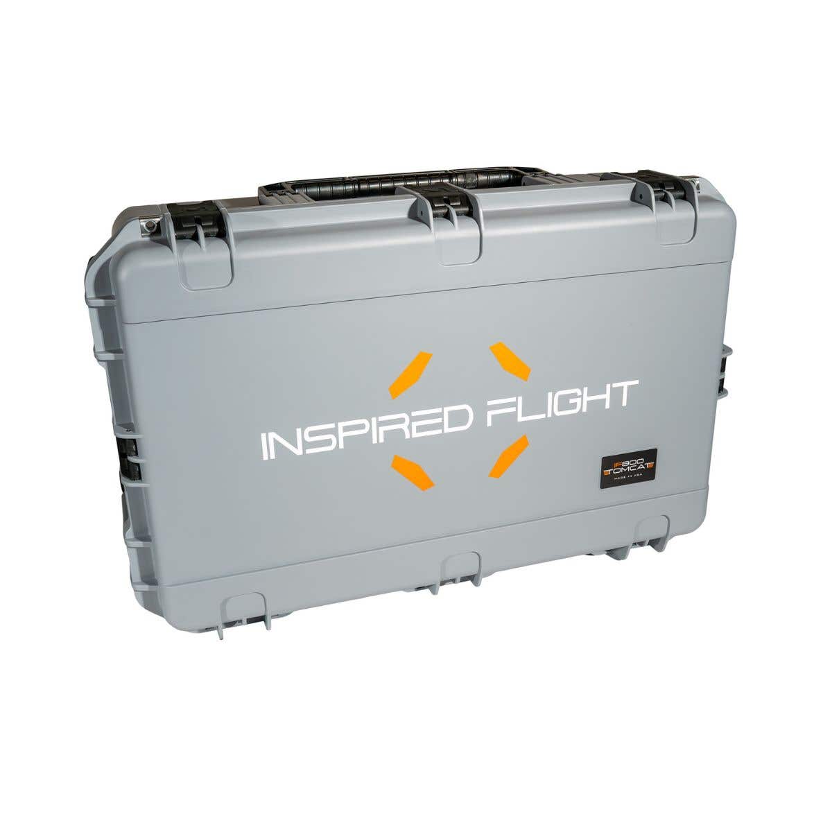
With rapid deployment and a rugged carrying case that holds both batteries and payload, it's designed for easy transport and quick operations.
- Flight time: Up to 54 minutes
- Payload capacity: 1.5 kg (max 3 kg)
- Battery system: Dual hot-swappable smart batteries with slide-in design for minimal downtime
Advanced Flight Capabilities
The TOMCAT is engineered to capture data from unique perspectives:
- 60° upward-angle shooting: Ideal for inspections, terrain mapping, and LiDAR surveys
- FPV camera: Real-time feedback for precision control
- NDAA & blue UAS-compliant: Secure and approved for government and enterprise use
This makes the TOMCAT a strong alternative to DJI's Matrice drones, offering both performance and compliance.
Blue Herelink Ground Control Station
Paired with the TOMCAT is the Blue Herelink GCS, crafted in an ITAR-certified California facility with industrial-grade billet aluminum housing. It combines manual flight control, HD video streaming, and mission programming in one rugged system.
- Range: Up to 20 km (12 mi)
- Video: Live HD feed with dual HDMI ports
- Security: AES-128 encryption for safe operations
- Software support: QGroundControl, Mission Planner, and Google Maps live tracking
Why Choose the IF800 TOMCAT + Blue Herelink?
- Long endurance flights with flexible payload options
- Rapid setup and easy transport
- NDAA/Blue UAS compliance for sensitive missions
- Secure, long-range ground control with integrated mission planning
This system is built for professionals in infrastructure inspection, mapping, surveying, and government applications who need reliability, security, and efficiency in every flight.
Best uses for the IF800 Quadcopter Bundle
Infrastructure Inspections
- As the IF800 can carry heavy payload, it can inspect important infrastructures like electrical lines, bridges, or pipelines.
- The advanced sensors on such a device could be incorporated with the heavy-lift capability to detect possible anomalies with structural integrity.
Search and Rescue
- The reason this is a more effective tool for search and rescue operations lies in the high-precision navigation it offers as well as extended flight time.
- Through the IF800, large areas can be kept under coverage so that rescue teams can locate missing people or support the rapid response of natural disaster events.
Agriculture and Forestry
- Equipped with advanced multispectral sensors, the IF800 helps farmers monitor crop health, can detect irrigation issues, and can gauge pest infestation.
- In forestry management, it also helps map forested areas and track environmental changes.
Surveying and Mapping
- Large mapping and surveying are appropriate tasks for this IF800.
- Mounting such high-resolution cameras and LiDAR sensors will permit experts to collect accurate geospatial data for both topographic surveys and town planning.
Driven by inspiration The Inspired Flight IF800 Quadcopter with Herelink Blue Ground Control Station delivers industry leading performance, security, and reliability for professionals in demanding industries.
Enhance your aerial operations with the Inspired Flight IF800 Quadcopter and Blue Herelink.

