Skip to product information
1 of 2

Autel EVO Max RTK Module

Autel EVO Max RTK Module

Regular price $529.00
Regular price Sale price $529.00
Sale Sold out
SKU S-AR-MAX-RTK MPN 102002423 UPC 889520209854
  • Centimeter-level RTK positioning for EVO Max mapping operations
  • Supports GPS Galileo and BeiDou GNSS constellations
  • Compatible with Autel EVO Max 4T and EVO Max 4N
  • Enables NTRIP network RTK correction workflows
  • Supports PPK positioning workflows for mapping projects
  • Improves geotag precision for aerial survey imagery
  • Reduces ground control point requirements during mapping missions
  • External RTK expansion module for EVO Max platform
  • Integrates directly with EVO Max GNSS navigation system
View full details
  • Description
  • Specifications
  • In the Box
  • FAQ

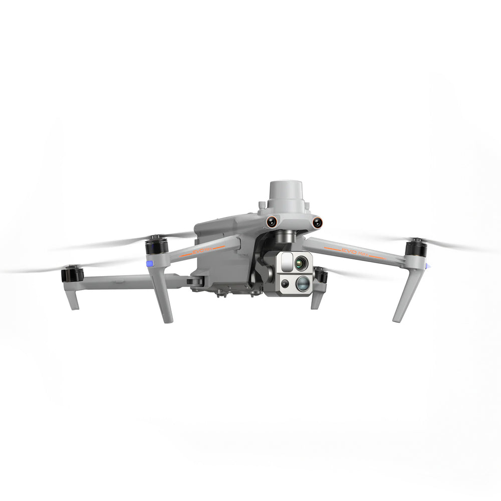
Autel EVO Max RTK Module: Survey-grade positioning for EVO Max 4T and 4N drones

The Autel EVO Max RTK Module is a high-precision positioning expansion designed for the Autel EVO Max 4T and EVO Max 4N drone platforms. By integrating Real-Time Kinematic satellite positioning technology, the module enables centimeter-level location accuracy for aerial mapping, surveying, and precision agriculture operations.

The module supports multiple GNSS constellations including GPS, Galileo, and BeiDou to improve geospatial precision. Designed as an external accessory, the RTK module integrates seamlessly with the EVO Max system to support advanced mapping workflows and high-accuracy aerial data collection.

Key features and benefits

  • Real-time kinematic positioning: Provides centimeter-level positioning accuracy during missions
  • Multi-GNSS satellite support: Uses GPS Galileo and BeiDou constellations
  • Dedicated EVO Max integration: Designed for EVO Max 4T and EVO Max 4N
  • Network RTK workflows: Supports NTRIP correction services for precision mapping
  • PPK data workflows: Enables post-processed geospatial correction for aerial datasets
  • Accurate image geotagging: Improves mapping and photogrammetry alignment accuracy
  • Reduced GCP requirements: Minimizes need for ground control point placement
  • Professional mapping support: Suitable for surveying agriculture and infrastructure missions
  • Stable positioning performance: Maintains reliable navigation near complex environments

High-precision positioning is essential for reliable geospatial data collection. The Autel EVO Max RTK Module enhances the EVO Max platform by enabling professional-grade mapping accuracy for demanding aerial operations.

Dronefly customers receive more than just hardware—they gain a trusted UAV solutions partner. Order the Autel EVO Max RTK Module from Dronefly to equip your EVO Max drone with survey-grade positioning accuracy.

Compatibility

  • Autel Robotics EVO Max 4N
  • Autel Robotics EVO Max 4T

Wireless

  • GNSS support: GPS, Galileo, BeiDou

Global Positioning

  • Supported systems: BeiDou, Galileo, GPS
  • 1x Autel EVO MAX RTK Module
What accuracy does the Autel EVO Max RTK Module provide?

The Autel EVO Max RTK Module provides centimeter-level positioning accuracy when used with RTK correction data. This level of precision is important for professional surveying and mapping operations. It ensures aerial imagery and flight data are accurately georeferenced.

Which drones work with the Autel EVO Max RTK Module?

The Autel EVO Max RTK Module is compatible with the Autel EVO Max 4T and Autel EVO Max 4N drones. It integrates with the aircraft’s navigation system to improve positioning accuracy. Other Autel drone models are not supported.

Does the Autel EVO Max RTK Module support NTRIP correction services?

Yes, the Autel EVO Max RTK Module can use network RTK correction services such as NTRIP. These services provide real-time correction data to improve positioning accuracy. This enables centimeter-level geospatial precision during mapping missions.

Can the Autel EVO Max RTK Module be used for surveying?

Yes, the Autel EVO Max RTK Module is designed for applications such as surveying, mapping, and precision agriculture. The RTK positioning system improves the accuracy of aerial geospatial data. This allows operators to generate reliable maps and models.

Why is RTK positioning important for drone mapping?

RTK positioning improves the geographic accuracy of aerial imagery captured during flight. Accurate geotagging allows mapping software to align images correctly during reconstruction. This produces more precise maps and 3D models for professional analysis.