


CZI MF30-M4 Drone Flow Meter
CZI MF30-M4 Drone Flow Meter

Couldn't load pickup availability


- Description
- Specifications
- In the Box
- FAQ
CZI MF30-M4 Drone Flow Meter: UAV-Integrated Surface Velocity and Flow Measurement Payload for Enterprise DJI Matrice 4 Series Programs
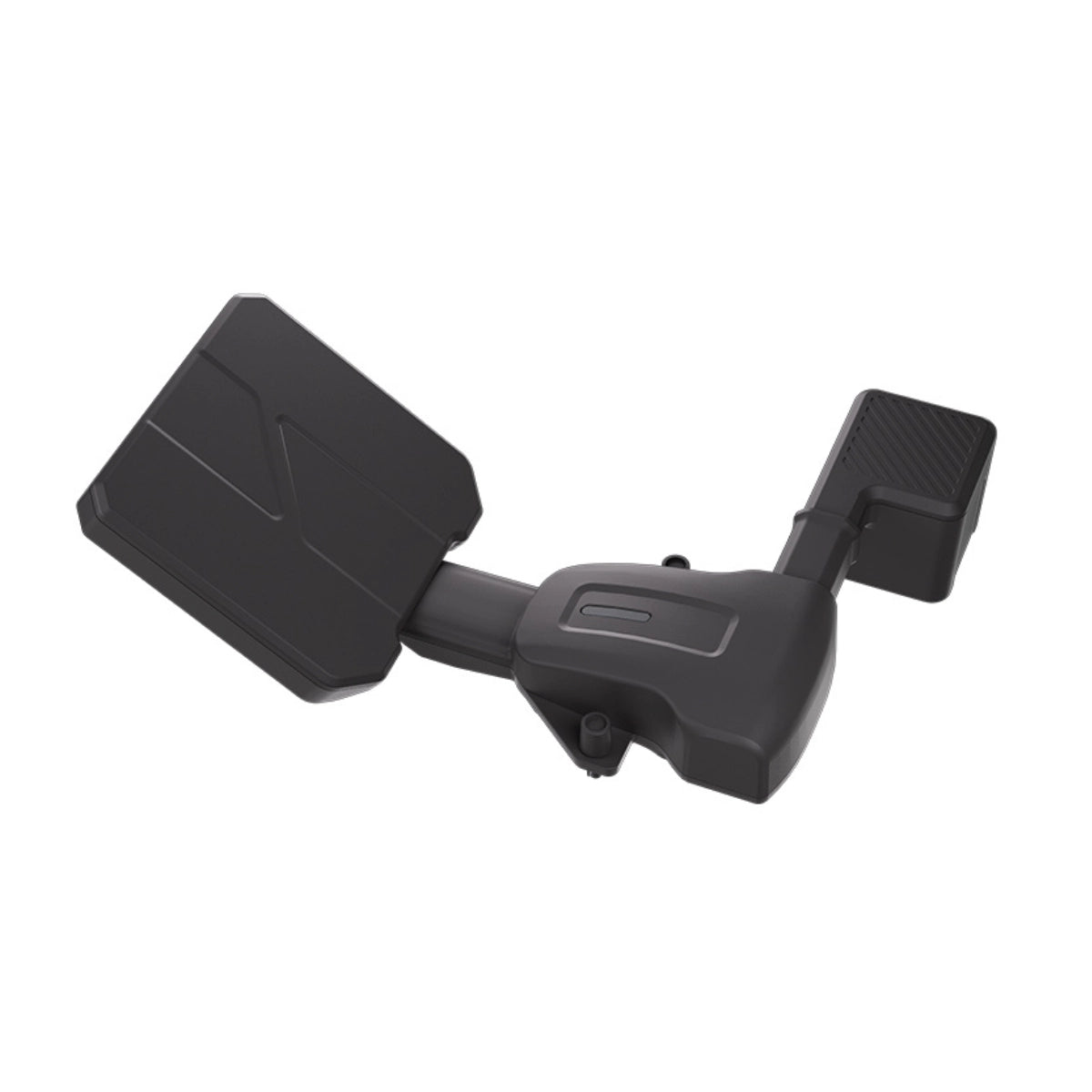
The CZI MF30-M4 is a compact drone-mounted flow meter payload built for rapid surface water velocity measurement, reference water level calculation, and cross-section flow computation on the DJI Matrice 4 Series. Developed by CZI for emergency hydrological monitoring and enterprise water resource management programs, it integrates a 24GHz velocity radar and an 80GHz ranging radar into a single 108g PSDK payload that a single operator can install and deploy in under two minutes. For fleet programs running flood emergency response, routine hydrological surveys, or infrastructure monitoring operations, the MF30-M4 provides a fast, repeatable aerial measurement capability that eliminates the logistical complexity of ground-based flow measurement equipment in hazardous or inaccessible environments.
The 24GHz velocity radar measures surface flow speeds from 0.1 to 20 m/s with accuracy of ±0.01 m/s at speeds below 1 m/s and ≤±1% full scale at speeds above 1 m/s, at a recommended operating altitude of 1 to 10m above the water surface. The 80GHz ranging radar measures water surface distance from 0.18 to 30m with ±2mm ranging accuracy, providing the real-time distance data needed to calculate reference water levels against established benchmarks. The full CZI Pilot software pipeline runs on the drone controller and covers automated waypoint and route-based flight missions, river cross-section data import, flow calculation using Area-Velocity, International, and Liwen methods, coefficient calibration, cloud data synchronization, and tabular data export — consolidating the entire measurement workflow into a single deployable system.
CZI MF30-M4 Mission-Ready Capabilities
- 24GHz velocity radar: measures surface flow from 0.1 to 20 m/s with ±0.01 m/s accuracy.
- 80GHz ranging radar: water surface distance measurement from 0.18 to 30m at ±2mm accuracy.
- Lightweight build: 108g payload connects to DJI Matrice 4 Series via PSDK for fleet deployment.
- Two-minute deployment: single operator installs and deploys the payload without tools or ground support.
- CZI Pilot integration: complete flow monitoring pipeline from measurement to calculation and export.
- Automated flight missions: route-based automatic flight records all measurement point data across programs.
- Reference water level: Pearl River, Wusong, and other benchmark calculation systems supported.
- Flow calculation: Area-Velocity, International, and Liwen methods for cross-section flow computation.
- Cloud synchronization: flow data syncs to cloud platform for visualized hydrological data management.
- IP55 rated: sealed against dust and water jets for sustained deployment in light to moderate rain.
Applications and Use Cases
- Flood emergency response: rapidly measure breach flow velocity at river upstream points during flood events, giving response teams actionable hydrological data within minutes of arrival without ground-based equipment.
- Routine hydrological surveys: import river cross-section data and conduct scheduled surface velocity measurements at fixed monitoring points to support ongoing water resource management and fleet reporting programs.
- River cross-section flow calculation: combine measured velocity data with imported cross-section profiles to compute volumetric flow rates using Area-Velocity, International, or Liwen calculation methods across multiple survey points.
- Water level monitoring: use the 80GHz ranging radar alongside RTK elevation data to calculate reference water levels relative to established benchmarks such as Pearl River or Wusong datum for compliance and reporting.
- Disaster reconnaissance: deploy rapidly over inaccessible or hazardous waterways during disaster events to collect flow and water level data that ground teams cannot safely reach, supporting incident command decisions.
- Dam and reservoir management: conduct scheduled flow measurements upstream and downstream of dams and reservoirs to support discharge management, spillway operations, and long-term safety monitoring programs.
- Irrigation and agriculture water management: measure flow rates in irrigation channels and agricultural water supply systems to support allocation decisions, efficiency monitoring, and seasonal water management programs.
- Environmental monitoring: collect surface velocity and water level data in rivers and wetlands for ecological research, habitat assessment, and environmental compliance reporting across multi-site monitoring programs.
- Urban stormwater management: measure flow velocity in urban drainage channels and stormwater systems during and after heavy rain events to support drainage capacity analysis and municipal flood risk assessment.
- Bridge and infrastructure inspection support: measure flow conditions near bridge piers, culverts, and hydraulic structures to assess scour risk and provide hydrological data for infrastructure safety evaluations.
The CZI MF30-M4 addresses a core operational gap in enterprise water resource and emergency response programs: reliable, repeatable aerial flow measurement from a platform that deploys in minutes and integrates directly into existing DJI Matrice 4 Series fleet operations. Its 108g build, comprehensive CZI Pilot software pipeline, and cloud synchronization capability make it a practical primary payload for fleet programs where speed of deployment and data completeness are both mission requirements.
Dronefly supports enterprise operators in building DJI Matrice 4 Series payload programs around tools that solve real operational problems, and the CZI MF30-M4 is a strong fit for water resource, emergency management, and environmental monitoring fleets where aerial flow measurement capability directly affects program outcomes. Order the CZI MF30-M4 Drone Flow Meter at Dronefly today.


