Skip to product information
1 of 4

DJI Matrice 400 (Demo Unit)

DJI Matrice 400 (Demo Unit)

Regular price $5,299.00
Regular price $10,400.00 Sale price $5,299.00
Sale Sold out
  • Demo unit in like-new condition, cosmetic engraving, fully operational platform.
  • Supports up to 6 kg payload across multiple gimbal configurations.
  • Rotating LiDAR and mmWave radar deliver wire-level obstacle detection.
  • Fifty-nine minutes of forward flight time per TB100 battery charge.
  • IP55-rated for dust, moisture, and extreme temperature environments.
  • O4 Enterprise transmission reaches 40 km range under FCC authorization.
  • Seven simultaneous payloads via four external E-Port V2 ports.
  • Hot-swap battery maintains satellite lock through 45-second pack exchange.
  • RC Plus 2 included with sub2G SDR module pre-installed.
View full details
  • Description
  • Specifications
  • In the Box
  • FAQ

DJI Matrice 400 (Demo Unit): Multi-Payload Enterprise UAV With Integrated LiDAR and mmWave Sensing

The DJI Matrice 400 represents the current apex of DJI's enterprise platform lineup: a modular, multi-payload aircraft engineered for organizations that require long endurance, scalable sensor integration, and all-weather operational reliability in a single deployable system.

With a 6 kg (13.2 lbs) payload ceiling, up to seven simultaneous payloads via four external E-Port V2 ports, and a rotating LiDAR and mmWave radar sensing suite built directly into the airframe, the M400 is structured for fleet-level deployment across inspection, mapping, public safety, and emergency response programs.

Key Features and Benefits

  • Payload capacity: supports up to 6 kg across single, dual, or third gimbal connector configurations.
  • Flight endurance: 59-minute forward flight time reduces battery rotation cycles on extended-area missions.
  • Rotating LiDAR: airframe-integrated sensor provides continuous terrain mapping and vertical object detection.
  • mmWave radar: six-direction coverage identifies 12 mm distribution lines at operational flight speeds.
  • IP55 protection: certified dust and moisture resistance across temperatures from -4°F to 122°F (-20°C to 50°C).
  • O4 transmission: 40 km range (FCC) with ten-antenna aircraft array and phased array RC antenna system.
  • Hot-swap battery: built-in capacitor preserves satellite lock through a 45-second pack exchange.
  • E-Port V2 ports: four external ports enable up to seven payloads mounted and active simultaneously.
  • ADS-B In: dual-antenna airborne receiver monitors manned traffic at ranges up to 12.4 miles (20 km).
  • Airborne relay: one M400 configured as a relay node extends link range for a second M400 in complex terrain.

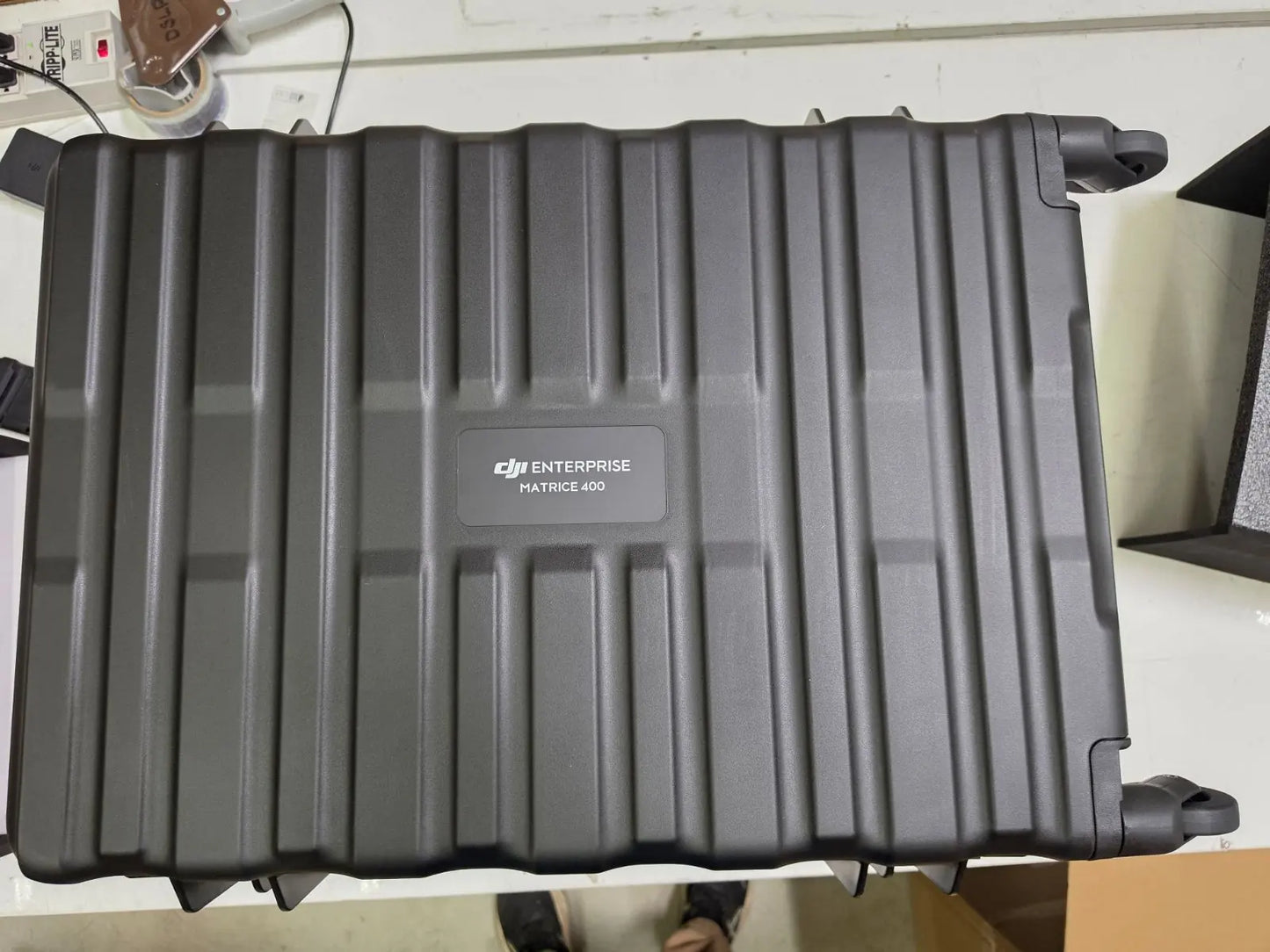
This listing is for a like-new factory demo unit. The aircraft body carries a permanent factory engraving reading "Demo unit, not for sale," with the equivalent text in Chinese. This marking is cosmetic only and does not affect any flight system, sensor, or software function.

The unit is mechanically and electronically identical to a standard production M400. All standard in-box components are included. TB100 Intelligent Flight Batteries and the BS100 Intelligent Battery Station are not included and are available separately.

A Platform Architecture Built for Program Scale

The M400 is not configured around a single mission type, it is designed as a scalable enterprise system that adapts to evolving program requirements without platform replacement.

Four E-Port V2 ports allow simultaneous integration of up to seven payloads, enabling combinations of LiDAR, thermal, zoom, and multispectral sensors within a single sortie. The O4 Enterprise Enhanced transmission delivers three-channel 1080p live view at up to 40 km (FCC), with built-in airborne relay capability that extends effective range in obstructed environments without additional ground infrastructure.

RTK positioning delivers centimeter-level accuracy at 1 cm + 1 ppm horizontal, with heading error below 2°, supporting repeatable autonomous flight paths across multi-flight data collection programs.

Compatibility and System Integration

  • Zenmuse H30T payload: thermal, wide, and zoom imaging with 1,200 m laser rangefinder on one gimbal.
  • Zenmuse L2 payload: LiDAR scanning for survey-grade 3D point cloud capture and terrain modeling.
  • Zenmuse L3 payload: next-generation LiDAR platform for large-corridor and high-density mapping programs.
  • Zenmuse P1 payload: full-frame photogrammetry sensor for GCP-supported precision aerial mapping workflows.
  • D-RTK 3 Multifunctional Station: differential correction base for centimeter-level RTK positioning in the field.
  • DJI FlightHub 2: cloud-based fleet management platform for multi-aircraft coordination and mission oversight.
  • DJI Terra: post-flight processing for 2D orthomosaics, 3D models, and classified point cloud outputs.
  • DJI Cellular Dongle 2: optional 4G/LTE module enabling automatic carrier switching for remote connectivity.

Applications and Use Cases

  • Power line inspection: wire-level mmWave detection enables safe autonomous corridor flying near live infrastructure.
  • Large-scale mapping: simultaneous LiDAR and photogrammetry payload support reduces total sortie count per area.
  • Fleet integration: E-Port V2 architecture and FlightHub 2 compatibility support centralized multi-aircraft program management.
  • Emergency response: 59-minute endurance and multi-sensor detection sustain wide-area situational awareness from a single aircraft.
  • Maritime operations: ship-based takeoff and landing support enables deployment from vessel decks in offshore environments.
  • Infrastructure inspection: AR distance and area measurement tools generate field data directly from the RC Plus 2 screen.

The Matrice 400 is purpose-built for programs where a single aircraft must serve multiple mission types across an extended operational lifecycle. Its modular payload architecture, long endurance, and centimeter-level positioning make it a durable foundation for enterprise UAS programs that expect to scale sensor configurations over time rather than replace the platform.

Dronefly's enterprise team works directly with program managers and fleet integrators to configure M400 systems around specific operational requirements, payload combinations, and software environments.

This demo unit represents an opportunity to deploy DJI's current flagship at a reduced entry point without compromising any platform capability. Contact Dronefly today to discuss configuration options and available payload pairings.

Aircraft

  • Takeoff Weight (with propellers): Without Batteries: 5020 ± 20 g; With Batteries: 9740 ± 40 g 
  • Max Takeoff Weight: 15.8 kg
  • Dimensions: Unfolded: 980×760×480 mm; Folded: 490×490×480 mm; Carrying Case: 779×363×528 mm
  • Max Payload: 6 kg
  • Propeller Size: 25 inches
  • Diagonal Wheelbase: 1070 mm
  • Max Ascent Speed: 10 m/s
  • Max Descent Speed: 8 m/s
  • Max Horizontal Speed: 25 m/s
  • Max Takeoff Altitude: 7000 m
  • Max Flight Time: 59 minutes
  • Max Hover Time: 53 minutes
  • Max Flight Distance: 49 km
  • Max Wind Resistance: 12 m/s
  • Max Yaw Angular Velocity: 100°/s
  • Max Pitch Angle: 35°
  • Operating Temperature: –20° to 50 °C
  • GNSS: GPS + Galileo + BeiDou + GLONASS*
  • Hovering Accuracy:

    Vertical: ±0.1 m (vision), ±0.5 m (satellite), ±0.1 m (RTK)
    Horizontal: ±0.3 m (vision), ±0.5 m (satellite), ±0.1 m (RTK)

  • RTK GNSS Accuracy: 1 cm + 1 ppm (H), 1.5 cm + 1 ppm (V)
  • RTK Heading: Better than 2°
  • ADS‑B In: Range: 20 km
  • Internal Storage: N/A
  • Ports: USB‑C Debug, E‑Port V2 ×4, Cellular Dongle 2 ×2
  • Propeller Model: 2510F
  • Beacon: Built-in
  • Ingress Protection: IP55

Gimbal

  • Max Payload (Single Connector): 1400 g
  • Max Payload (Dual Connector): 950 g
  • Max Payload (Third Connector): 3 kg (quick‑release), 6 kg (screw lock)

Sensing System

  • Sensors: Omnidirectional binocular vision, LiDAR, infrared, mmWave radar
  • Forward/Backward: Range: 0.4–21 m; Detection: 0.4–200 m; FOV: 90°×90°
  • Lateral: Range: 0.6–21 m; Detection: 0.5–200 m; FOV: 90°×90°
  • Downward: Range: 0.5–19 m; FOV: 160° front/rear, 105° sides
  • Rotating LiDAR: Range: 0.5–100 m; FOV: 360°×58°
  • Upper LiDAR (3D ToF): Range: 0.5–25 m; FOV: 60°×60°
  • Infrared: Range: 0.3–8 m; FOV: 60°×60°
  • mmWave Radar: Range: 36–50 m; FOV: ±45°

FPV Camera

  • Resolution: 1080p
  • Field of View: DFOV 150°, HFOV 139.6°, VFOV 95.3°
  • Frame Rate: 30 fps
  • Night Vision: Starlight-grade

Video Transmission

  • System: DJI O4 Enterprise Enhanced
  • Live View: 3‑channel 1080p/30fps
  • Frequencies & Power: Multiple bands including 902–928 MHz, 2.4 GHz, and 5.8 GHz
  • Max Distance: 40 km (FCC), 20 km (CE)
  • Performance with Interference: 1.5–40 km depending on strength
  • Max Download Speed: 80 Mbps
  • Antennas: 8 WLAN, 2 sub2G, 4G ×4
  • Other Features: Dual Control, Cellular Dongle support

Battery

  • Model: TB100
  • Capacity: 20254 mAh
  • Voltage: 48.23 V
  • Max Charging Voltage: 54.6 V
  • Cell Type: Li-ion 13S
  • Energy: 977 Wh
  • Weight: 4720 ± 20 g
  • Charging Temp: 5–45 °C
  • Discharging Temp: –20–75 °C
  • Heating: Onboard & Station Support
  • Discharge Rate: 4C
  • Max Charging Power: 2C
  • Cycle Count: 400

Battery Station

  • Model: BS100
  • Weight: 11.8 kg
  • Dimensions: 605×410×250 mm
  • Supported Batteries: TB100 / TB100C / WB37
  • Operating Temperature: –20–40 °C
  • Input: 100–240 V AC
  • Output:

    TB100: up to 2184 W
    WB37: 52 W
    USB‑C: up to 65 W

  • Charging Channels: 3 TB100 & 2 WB37
  • Modes: Ready‑to‑Fly, Standard, Fast, Silent
  • Charging Time: 45–110 min depending on mode and voltage

Remote Controller (DJI RC Plus 2)

  • Video Transmission: DJI O4 Enterprise Enhanced
  • Max Distance: 40 km (FCC), 20 km (CE)
  • Frequencies: Multiple bands
  • Antennas: 2T4R dual‑band + sub2G 2T2R
  • Wi‑Fi: 802.11 a/b/n/ac/ax, up to 1774.5 Mbps
  • Bluetooth: 5.2
  • Screen: 7.02″, 1920×1200, 1400 nits
  • Battery: Internal (6500 mAh) + Optional External (4920 mAh)
  • Runtime: 3.8 h (internal), 7 h (w/ external)
  • Charging Time: ~2 h
  • Storage: 8 GB RAM + 128 GB + microSD
  • Ports: HDMI, SD, USB‑C (PD), USB‑A
  • Weight: 1.15 kg
  • Dimensions: 268×163×94.5 mm
  • GNSS: GPS + Galileo + BeiDou
  • OS: Android 11

Supported Accessories

  • Zenmuse H30/H30T/L2/P1
  • Zenmuse S1, V1
  • Manifold 3
  • DJI RC Plus 2 sub2G SDR
  • Cellular Dongle 2
  • D‑RTK 3 & 2
  • X‑Port, E‑Port V2
  • SkyPort V3 Adapter
  • 1x Matrice 400 aircraft (demo unit, "Demo unit, not for sale" engraved on body)
  • 1x DJI RC Plus 2 Enterprise Enhanced remote controller (with DJI RC Plus 2 sub2G SDR Module pre-installed)
  • 1x WB37 Intelligent Battery (for remote controller)
  • 2x landing gear
  • 2x propeller pairs (in protective sleeves)
  • 1x official DJI Enterprise Matrice 400 hard carry case
What does "demo unit" mean, and does the engraving affect platform performance?

This aircraft was produced by DJI as an authorized dealer demonstration unit and has never been sold as a new production item. Its condition is like new. A permanent factory engraving on the body reads "Demo unit, not for sale," with equivalent Chinese text. This is a cosmetic marking only and has no effect on the aircraft's flight systems, sensors, transmission performance, payload integration, or software compatibility. All published M400 specifications apply to this unit without exception.

What payloads are compatible with the Matrice 400, and are any included?

No payload is included with this listing. The M400 supports the Zenmuse H30T, L2, L3, P1, H20N, S1, and V1, as well as third-party payloads via the E-Port V2 interface up to 6 kg at the third gimbal connector. Up to seven payloads can be mounted simultaneously across the aircraft's four external E-Port V2 ports and gimbal connectors. Dronefly's enterprise team can advise on payload selection based on your program's specific mission profile.

What is included in this listing, and what remote controller does it come with?

This listing includes the M400 aircraft, the DJI RC Plus 2 Enterprise Enhanced remote controller with the DJI RC Plus 2 sub2G SDR Module pre-installed, WB37 remote controller battery, two landing gear, two propeller pairs, the official DJI Enterprise hard carry case, etc

How does the M400's RTK positioning support repeatable autonomous mission execution?

When paired with the D-RTK 3 Multifunctional Station or a network RTK service via the RC Plus 2, the M400 achieves horizontal accuracy of 1 cm + 1 ppm and vertical accuracy of 1.5 cm + 1 ppm. RTK heading accuracy is better than 2°. This level of positioning precision supports repeatable autonomous flight paths across multi-flight mapping campaigns, corridor inspection programs, and any application where consistent spatial reference between sorties is operationally critical. Network RTK services are bound to the remote controller, not the aircraft.