


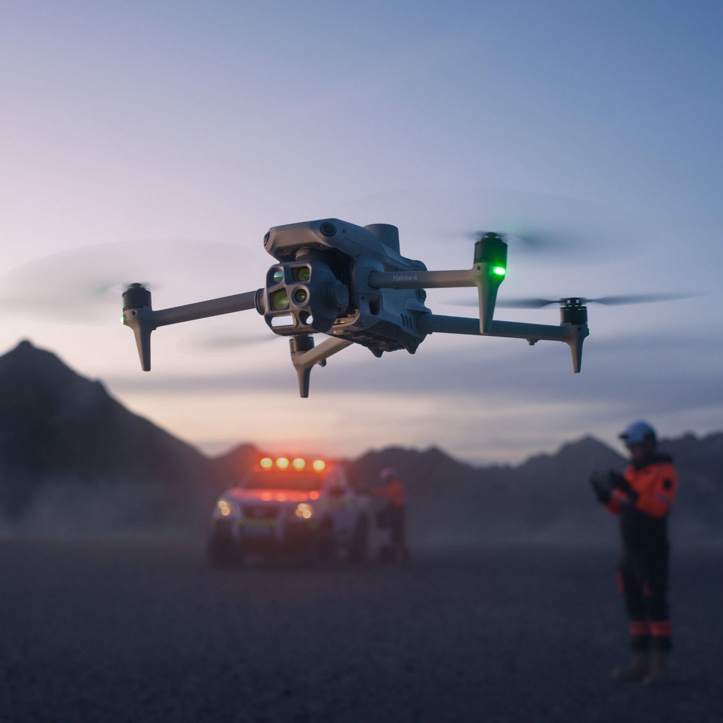
DJI Matrice 4T Universal Edition
DJI Matrice 4T Universal Edition

Couldn't load pickup availability


- Description
- Specifications
- In the Box
- FAQ
DJI Matrice 4T: Redefining Precision and Safety for Enterprise Operations
The DJI Matrice 4T is an advanced multi-sensor drone designed to meet the complex demands of enterprise professionals in public safety, inspections, and renewable energy.
Combining cutting-edge imaging technology, AI capabilities, and robust safety features, the Matrice 4T empowers teams to perform missions with unparalleled precision, even in the most challenging scenarios.
Its compact, durable design and advanced systems make it an indispensable tool for industries requiring reliable, high-quality data collection.
Advanced Multi-Sensor Integration for Comprehensive Data
-
Six Integrated Sensors: The Matrice 4T integrates six state-of-the-art sensors, including a wide-angle camera, medium telephoto camera, telephoto camera, infrared thermal camera, laser range finder, and NIR auxiliary light. This combination provides operators with comprehensive and actionable data during every mission.
-
112x Maximum Zoom: The drone's telephoto camera delivers exceptional zoom capabilities, allowing operators to capture fine details, such as vehicle license plates, from as far as 250 meters.
-
UHR Infrared Thermal Imaging: Superior thermal imaging enables clear detection of heat sources and anomalies, making it ideal for fire detection, search and rescue, and energy inspections.

AI-Powered Intelligence for Enhanced Decision-Making
-
Real-Time AI Detection: The built-in AI model can detect and classify humans, vehicles, and objects, enabling faster and more informed decision-making.
-
Laser Range Finder: With the ability to measure distances, calculate areas, and pinpoint specific coordinates, the Matrice 4T simplifies complex measurement tasks, improving accuracy and operational efficiency.
-
Smart Observation Tools: Features like line drawing, area calculation, and pin-pointing ensure teams can easily share critical data and coordinate efficiently during operations.
Operational Safety and Efficiency in Any Environment
-
Anti-GNSS Interference: The drone's vision positioning system allows it to perform safely and reliably even in environments with weak GPS or high electromagnetic interference, such as urban or industrial areas.
-
Extended Transmission Range: With an FCC-compliant transmission range of up to 25 km, enhanced by 4G connectivity, the Matrice 4T provides exceptional operational flexibility and reliability over long distances.
-
Robust Obstacle Avoidance: The enhanced obstacle avoidance system ensures safe flight paths, even in complex or confined environments, reducing risks during critical missions.
Pilot-Friendly Features for Seamless Operations
-
RC Plus 2 Controller: Featuring a 7.02-inch, ultra-bright 1400-nit display, the RC Plus 2 controller offers operators clear visibility and ease of use in all lighting conditions.

-
FlightHub 2 Integration: Real-time cloud-based synchronization enables operators to share data and collaborate effectively with remote teams.
-
Discrete Operation Mode: Low-noise propellers and discrete operational settings allow for silent missions, making the Matrice 4T ideal for surveillance and sensitive tasks.
Applications
Public Safety and Emergency Response
-
Search and Rescue Missions: AI-powered human detection and UHR thermal imaging simplify locating missing persons in vast or challenging terrains, such as forests or mountains.
-
Law Enforcement and Surveillance: Discreet operation and advanced zoom capabilities make the Matrice 4T perfect for monitoring suspects and collecting evidence.
-
Firefighting Support: Detect heat sources and monitor fire spread with ultra-clear thermal imaging, assisting first responders in formulating effective strategies.

Energy Sector
-
Powerline and Substation Inspections: Inspect critical energy infrastructure such as transmission towers, powerlines, and substations using thermal and high-resolution imaging.
-
Solar Panel Monitoring: Pinpoint thermal anomalies in solar arrays to identify and address defects quickly.
-
Pipeline Inspections: Detect leaks, monitor structural integrity, and ensure compliance with safety standards over extensive pipeline networks.
Infrastructure and Building Inspections
-
Bridge Assessments: Capture high-resolution data from challenging angles, including under-bridge inspections, using vision positioning for low-GNSS environments.
-
Building Surveys: Perform detailed evaluations of building exteriors and roofs to identify defects or structural issues with unparalleled imaging clarity.
Renewable Energy and Environmental Monitoring
-
Forestry Conservation: Monitor forest health, prevent wildfires, and assess ecological impacts with thermal and high-resolution imaging.
-
Environmental Surveys: Use precise data collection for land management, wildlife tracking, and conservation efforts.
Dronefly is dedicated to providing enterprise-grade drone solutions tailored to your needs. With a commitment to fast delivery, expert technical support, and customized recommendations, Dronefly ensures you maximize the value of your DJI Matrice 4T.
From pre-purchase consultations to post-purchase assistance, Dronefly is your trusted partner in achieving operational excellence with advanced drone technology.

