Skip to product information
1 of 3

PIX4Dreact

PIX4Dreact

Regular price $1,990.00
Regular price Sale price $1,990.00
Sale Sold out
SKU V-PXR-P MPN 3030.43
  • 2D fast-mapping for emergency response and public safety
  • Rapid processing delivers fast 2D orthomosaics
  • Offline operation supports field reliability
  • Direct workflow accelerates flat terrain mapping
  • Desktop engine maintains full local control
  • RGB imagery support fits common drones
  • Thermal JPEG visualization highlights heat contrast
  • DSM output captures essential terrain structure
  • WGS84 UTM reference ensures geospatial consistency
  • PIX4Dcloud upload enables remote map sharing
Subscription Type
View full details
  • Description
  • Specifications
  • In the Box
  • FAQ

PIX4Dreact: Fast Desktop 2D Mapping For Immediate Situational Awareness

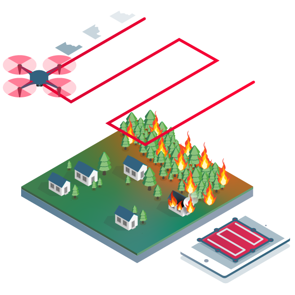
PIX4Dreact is a desktop fast-mapping software designed to transform drone-captured RGB images into accurate 2D orthomosaics within minutes. It is built for operations where rapid mapping and offline capability are critical.

Using a direct-to-orthomosaic photogrammetry technique optimized for mostly flat terrain, PIX4Dreact processes imagery locally on Windows or macOS laptops. By focusing exclusively on fast 2D outputs, it delivers reliable situational awareness significantly faster than full 3D photogrammetry workflows.

Platform Highlights And Fast Mapping Capabilities

  • Rapid map generation: create accurate orthomosaics quickly
  • Offline workflow: operate without internet connectivity
  • Direct orthomosaic engine: optimized for flat terrain scenes
  • Desktop processing: maintain full local data control
  • RGB-only support: designed for standard drone imagery
  • Thermal JPEG visualization: show relative temperature variation
  • DSM creation: capture primary ground surface shapes
  • WGS84 UTM output: ensure consistent coordinate reference
  • PIX4Dcloud sharing: publish maps via web link

PIX4Dreact is engineered to prioritize speed and operational simplicity. Its streamlined 2D workflow allows teams to move from image capture to map production with minimal delay. It provides dependable performance for missions requiring fast geographic context without cloud dependency.

When you purchase PIX4Dreact from Dronefly, you obtain an authorized software license from a trusted UAV dealer with extensive industry experience. We ensure clear licensing guidance and help you align software tools with your drone ecosystem. Buy PIX4Dreact from Dronefly to strengthen your rapid-mapping capability.

Technical Requirements (Hardware)

  • Operating Systems: Windows 10/11 (64-bit) or macOS (v13 Ventura or newer).
  • CPU: Intel Core i5 or AMD Ryzen 5 (Minimum); Intel i7/i9 or Apple M1/M2/M3/M4 (Recommended).
  • RAM: 8 GB minimum; 16 GB to 32 GB for projects exceeding 500 images.
  • GPU: Any OpenGL 4.1 compatible GPU (integrated graphics are sufficient; high-end NVIDIA cards are not required).
  • Storage: 10 GB free SSD space for installation; additional space for image datasets.
  • Connectivity: Offline local processing (internet only required for initial license activation and cloud uploads).

Software Specifications (Capabilities)

  • Processing Engine: Direct-to-orthomosaic engine (optimized for speed over 3D detail).
  • Data Inputs: RGB images (.jpg, .tif) and Thermal JPEGs (R-JPEG).
  • Coordinate Systems: WGS84 datum with automatic UTM zone selection.
  • Standard Outputs: 2D Orthomosaic (.tif) and Digital Surface Model (.tif).
  • Export Formats: .tif, .pdf, .kml, .mbtiles for GIS integration.
  • Annotation Tools: In-app Markers and Measurements for points, lines, and areas.
  • Comparison Mode: Split-screen view to compare two maps of the same area for change detection.
  • Contact our customer support team to know more about PIX4Dreact subscription tiers
What does PIX4Dreact do for field teams?

PIX4Dreact rapidly processes aerial RGB images into 2D orthomosaics. It is designed for time-sensitive operations requiring immediate situational awareness. Processing is completed locally on a desktop computer.

Can PIX4Dreact work without internet access?

Yes. PIX4Dreact operates offline after license activation. It processes imagery locally and does not require cloud connectivity.

Does PIX4Dreact support Ground Control Points?

No. PIX4Dreact does not support GCP workflows. For projects requiring GCP integration, PIX4Dmapper is recommended.

Can PIX4Dreact process thermal images?

PIX4Dreact can process JPEG thermal imagery as RGB. The resulting orthomosaic shows visual temperature differences but does not provide extractable temperature values.

Is PIX4Dreact designed for complex 3D reconstruction?

No. PIX4Dreact focuses on rapid 2D orthomosaic generation. For detailed 3D reconstruction workflows, PIX4Dmapper or PIX4Dmatic is more suitable.