
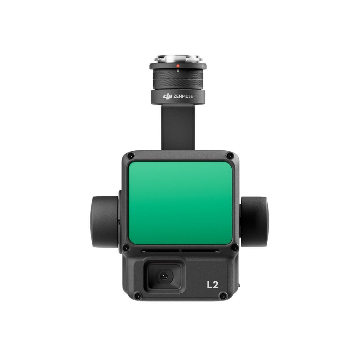
DJI Zenmuse L2
Shop DJI Zenmuse L2 Packages

-
 DJI Zenmuse L2 LiDAR Camera with Care Enterprise Plus
As low as $13,560.00
-
 DJI Zenmuse L2 LiDAR Camera with Care Enterprise Basic 2-Year
As low as $12,995.00
-
 DJI Zenmuse L2 LiDAR Camera with Care Enterprise Basic
As low as $12,430.00
Make 3D operation a breeze with DJI Zenmuse L2
The DJI Zenmuse L2, a state-of-the-art LiDAR system, heralds a new era in 3D data acquisition and mapping. Building on the success of the DJI Zenmuse L1, the Zenmuse L2 features an enhanced RGB camera, an upgraded LiDAR module, and improved accuracy, making it an indispensable tool for any enterprise professional using DJI Matrice 300 RTK or DJI Matrice 350 RTK platforms. With the Zenmuse L2, precision, efficiency, and reliability in 3D data acquisition are more accessible than ever.
What is the Zenmuse L2?
The Zenmuse L2 is a highly-integrated LiDAR system that combines LiDAR technology with a photogrammetry camera. This integration allows for the generation of high-precision 3D models and maps, facilitating a wide range of applications and making it a versatile tool for professionals in surveying, mapping, and 3D modeling. When used with DJI Terra, it offers a turnkey solution for 3D data collection and high-accuracy post-processing.
Key features of the Zenmuse L2
- LiDAR + RGB Solution: Integrates a LiDAR sensor with a high-resolution 4/3 CMOS RGB camera, capturing detailed 3D data and imagery simultaneously.
- High Precision and Efficiency: Delivers exceptional accuracy in 3D mapping and model generation with increased hardware power, streamlining data collection and processing.
- Enhanced Detection Range: Boasts a 30% increase in detection range over its predecessor, enhancing operational safety and efficiency.
- Improved RGB Camera: Features a 20 MP RGB mapping camera with a reduced photo interval of 0.7 seconds, significantly improving overall imaging and colorized point cloud details.
Uses and applications of the Zenmuse L2
The advanced capabilities of the Zenmuse L2 make it an invaluable tool across multiple industries:
- Surveying and Mapping: Enables large-scale, three-dimensional spatial information acquisition, greatly reducing workload and measurement time.
- Forestry and Environmental Monitoring: Allows for detailed analysis of landscapes and forest management with the ability to penetrate dense vegetation.
- Infrastructure and Electricity Inspection: Facilitates the efficient collection of point cloud data for inspection and management of critical assets.
- Construction and Infrastructure: For site planning and monitoring, volume measurements, and inspection of structures.
- Agriculture: Helps in crop monitoring, land management, and planning by providing detailed terrain models.
- Environmental Monitoring: Enables detailed analysis of landscapes, forest management, and erosion control efforts.
- Public Safety: Assists in search and rescue operations, disaster management, and incident mapping by providing accurate 3D reconstructions of areas.
Enhanced operational readiness
- Self-Developed IMU System: Significantly enhanced for immediate use upon power-on, optimizing the field experience.
- Real-Time Data Fusion: Combines with the drone’s RTK positioning system for data fusion during post-processing, ensuring highly accurate position, speed, and attitude information.
Software integration and control
- DJI Pilot 2: Supports three display modes for operational results and enhances flight safety with RNG (Laser Rangefinder) and real-time point cloud coloring modes.
- One-Click Processing on DJI Terra: Enables efficient and reliable point cloud post-processing, creating standard format 3D point clouds, DEMs, and allowing for accuracy control and inspection.
Why choose the Zenmuse L2 for 3D operations?
- Accuracy and Precision: Delivers high-accuracy data crucial for detailed analysis and planning.
- Efficiency: Streamlines the 3D mapping process, saving time and resources.
- Flexibility: Offers a range of applications across various industries, enhancing operational capabilities and outcomes.
Get started with the DJI Zenmuse L2 at Dronefly
Discover the unparalleled precision and efficiency of the DJI Zenmuse L2 for your 3D mapping and modeling needs at Dronefly. Whether you're engaged in land surveying, forestry, infrastructure management, or electricity inspection, the Zenmuse L2 provides the advanced technology you need for reliable and accurate data collection. Visit Dronefly.com today to explore how the Zenmuse L2 can transform your operations, offering you a competitive edge in your industry with cutting-edge 3D operation capabilities. Embrace the future of 3D data acquisition with the DJI Zenmuse L2 – your tool for making 3D operations not just possible, but a breeze.