
DJI Phantom 4 RTK
Shop Phantom 4 RTK Drones, Parts, and Accessories

-
 DJI Terra Mapping Software
As low as $400.00
-
 Enterprise Virtual Assist$399.00
 -
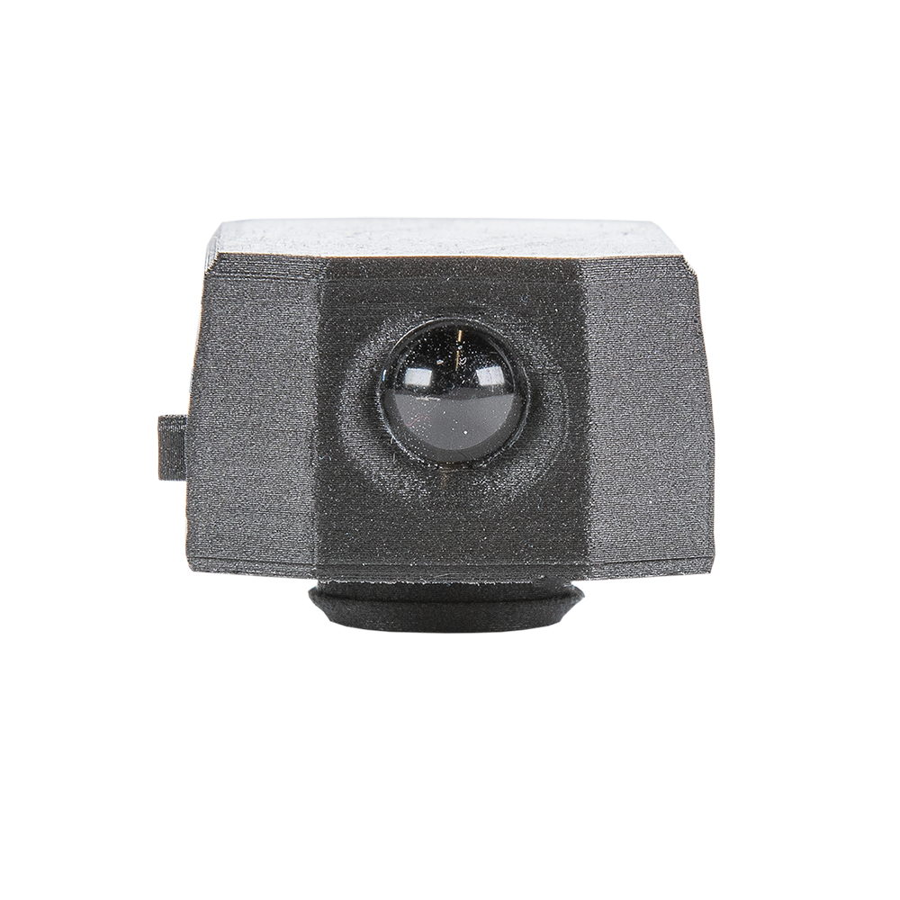 FoxFury D10-IR Drone Light$59.99
 -
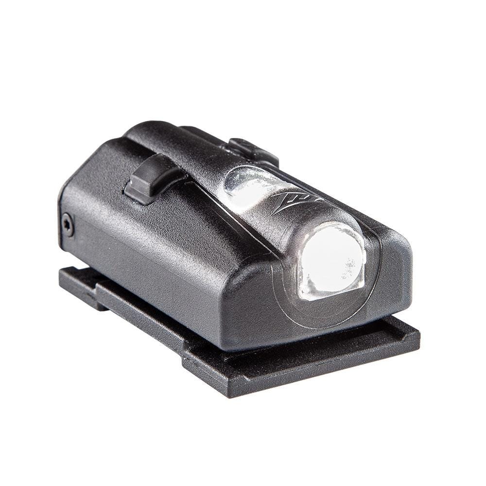 FoxFury D3060 Drone Light$59.99
 -
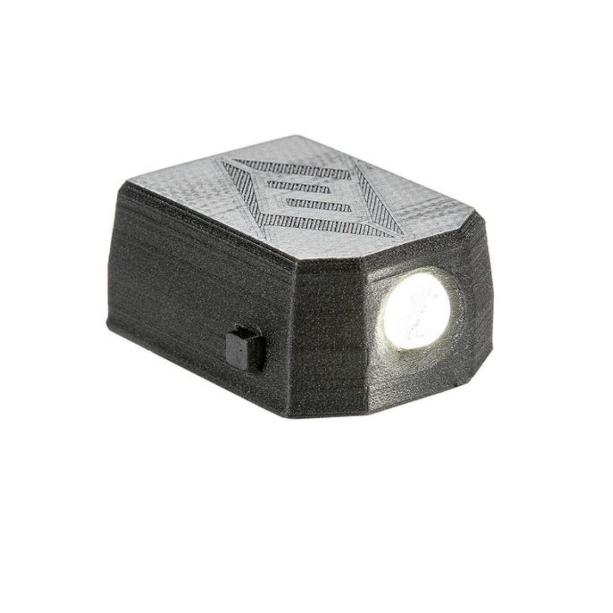 FoxFury - D10 Drone Light$49.99
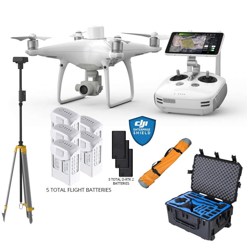

Compact low-altitude mapping with DJI Phantom 4 RTK
The DJI Phantom 4 RTK redefines the standards for precision aerial mapping, offering a compact solution with revolutionary accuracy.
Ideal for professionals in surveying, agriculture, construction, and more, this drone is designed to deliver centimeter-level positioning data, optimizing your mapping missions and ensuring unparalleled data accuracy.
Precision mapping at your fingertips
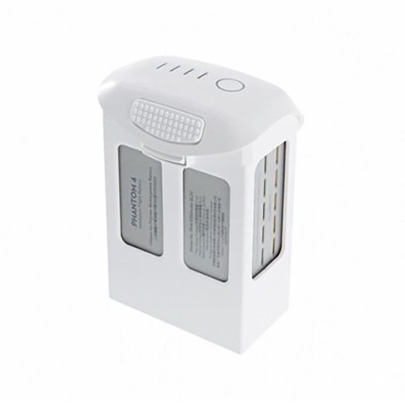
- RTK module integration: The Phantom 4 RTK features a built-in RTK module to provide real-time, centimeter-level positioning data, significantly enhancing accuracy in mapping and surveying projects.
- Advanced imaging system: Equipped with a 1-inch, 20-megapixel CMOS sensor, the drone captures detailed images, allowing for ground sample distances of 2.74 cm at 100 meters flight altitude.
- Optimized data collection: The RTK module also stores satellite observation data, facilitating Post Processed Kinematics (PPK) for even greater accuracy in data analysis.
Diverse applications across industries
The Phantom 4 RTK is not just a drone; it's a versatile tool that meets the needs of various professional sectors:
- Surveying: Achieve precise land measurements and topographic data with efficiency and ease, reducing manual labor and surveying time.
- Agriculture: Monitor crop health, manage resources, and plan agricultural operations with detailed aerial imagery, enabling precision farming practices.
- Construction: Keep track of project progress, conduct site surveys, and maintain accurate records of the construction site, ensuring project specifications are met with precision.
- Rapid mapping: Generate accurate maps and 3D models quickly, providing critical data for planning and decision-making in emergency response and urban development.
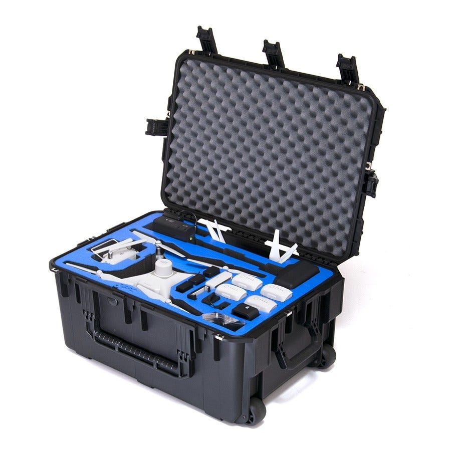
Why choose the DJI Phantom 4 RTK from Dronefly?
Dronefly is committed to offering not just the DJI Phantom 4 RTK drone but a comprehensive package that includes drones, parts, and accessories tailored to enhance your mapping and surveying capabilities.
Our Phantom 4 RTK packages are designed with professionals in mind, ensuring that you have the tools and support needed to carry out your projects with maximum efficiency and accuracy.
- Wide selection: From drones to essential accessories, find everything you need to get your Phantom 4 RTK ready for any task.
- Expert support: Our team of experts is here to help you choose the right package for your needs and provide ongoing support to ensure you make the most of your drone.
- Quality assurance: Trust in the quality and reliability of Dronefly's offerings, ensuring your investment delivers the best results for your projects.
Explore the potential of compact, low-altitude mapping with the DJI Phantom 4 RTK at Dronefly. Whether you're in agriculture, construction, surveying, or need rapid mapping solutions, our Phantom 4 RTK packages are equipped to meet your professional requirements.
Contact us today to find out how we can support your projects with our drones, parts, and accessories, and take the first step towards redefining precision in your industry with Dronefly.