
Autel Software
Cartridge prices starting at $149.00Shop Autel Drone Mapping Software

-
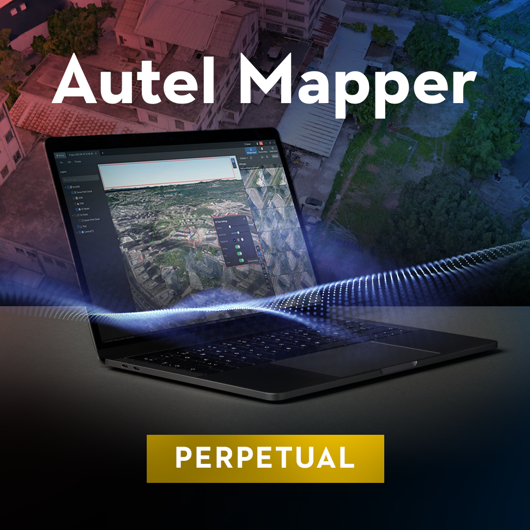 Autel Mapper Perpetual$3,599.00
 -
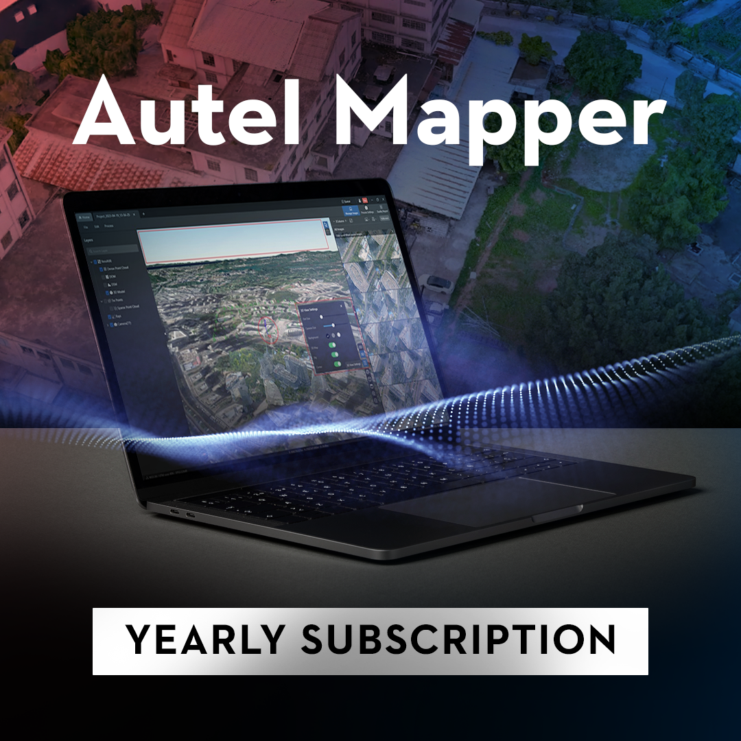 Autel Mapper Yearly Subscription$1,490.00

Precision mapping and efficient data collection with Autel Mapper
Autel Robotics is renowned for its high-quality drones and innovative software solutions tailored to professional and enthusiast drone operators alike. Among its standout offerings, Autel Mapper shines as a premier tool for precision mapping and efficient data collection, designed to enhance the capabilities of Autel drones in various fields such as surveying, construction, agriculture, and more.
Autel Mapper: Elevate your aerial data collection
Autel Mapper is a powerful software application that integrates seamlessly with Autel drones to provide advanced mapping and data analysis capabilities. It's engineered to facilitate the creation of detailed, accurate maps and 3D models from drone-captured imagery, enabling professionals to gather critical data with precision and efficiency. Here’s what Autel Mapper brings to your operations:
- Detailed mapping and modeling: Generate high-resolution maps and 3D models for comprehensive site analysis and planning.
- Efficient data processing: Autel Mapper processes data quickly, allowing for faster turnaround times on projects and decision-making processes.
- Versatile application: Whether it's for monitoring agricultural lands, surveying construction sites, or conducting environmental assessments, Autel Mapper adapts to a wide range of industry needs.
Industries benefiting from Autel Mapper
Autel Mapper is versatile enough to serve a multitude of industries, offering tailored solutions that meet specific operational requirements:
- Surveying and Construction: For creating detailed site surveys and tracking project progress with high precision.
- Agriculture: For analyzing crop health, planning irrigation, and managing resources more effectively.
- Environmental Monitoring: For conducting detailed environmental assessments and monitoring changes over time.
- Public Safety: For creating accurate maps and models for emergency planning and response strategies.
Drone compatibility
Autel Mapper is designed to work with a range of Autel drones, ensuring broad compatibility and maximizing the utility of Autel's advanced aerial platforms. Compatible drones include:
- Autel EVO Series
- Autel Dragonfish Series
This compatibility ensures that users can leverage Autel Mapper's powerful features, regardless of the Autel drone model they operate, providing flexibility and high performance across the board.
Why choose Autel Mapper with Dronefly?
Selecting Autel Mapper through Dronefly guarantees access to one of the most sophisticated mapping and data collection tools available for drones today. Our expertise in drone technology enables us to provide unparalleled support and guidance, ensuring that you can make the most of Autel Mapper's capabilities. Whether you're tackling complex surveying tasks, managing agricultural operations, or conducting environmental assessments, Autel Mapper and Dronefly together offer a powerful solution for your needs.
Transform your operations with Autel Mapper
With Autel Mapper and Dronefly, transform your drone into a powerful tool for precision mapping and efficient data collection. Embrace the capabilities of Autel's advanced software to elevate your projects, making informed decisions based on accurate, up-to-date aerial data. Visit Dronefly today to explore how Autel Mapper can revolutionize your data collection and mapping processes, driving efficiency and accuracy in all your operations.