
Online Store
Subscribe to RSS FeedDronefly Featured Drone Packages, Parts, and Accessories

-
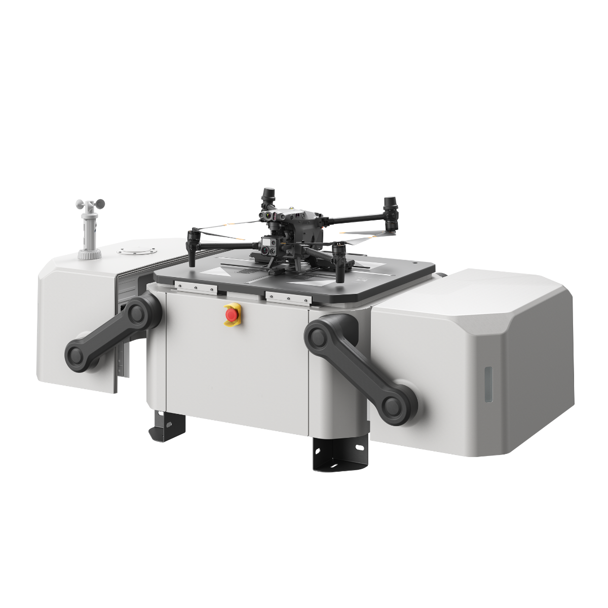 DJI Dock
As low as $33,341.00
-
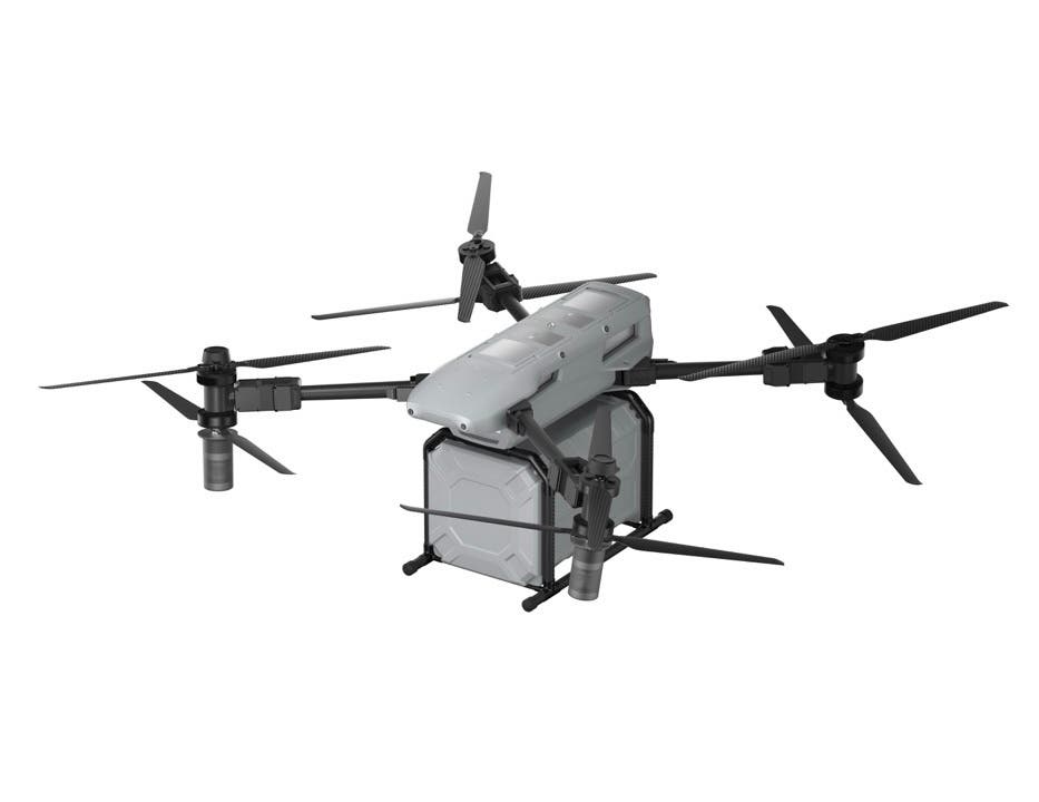
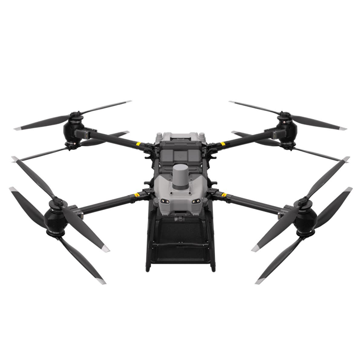
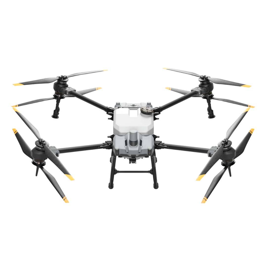 DJI Agras T40 V3 with 65W Charger Combo
As low as $19,999.00
-
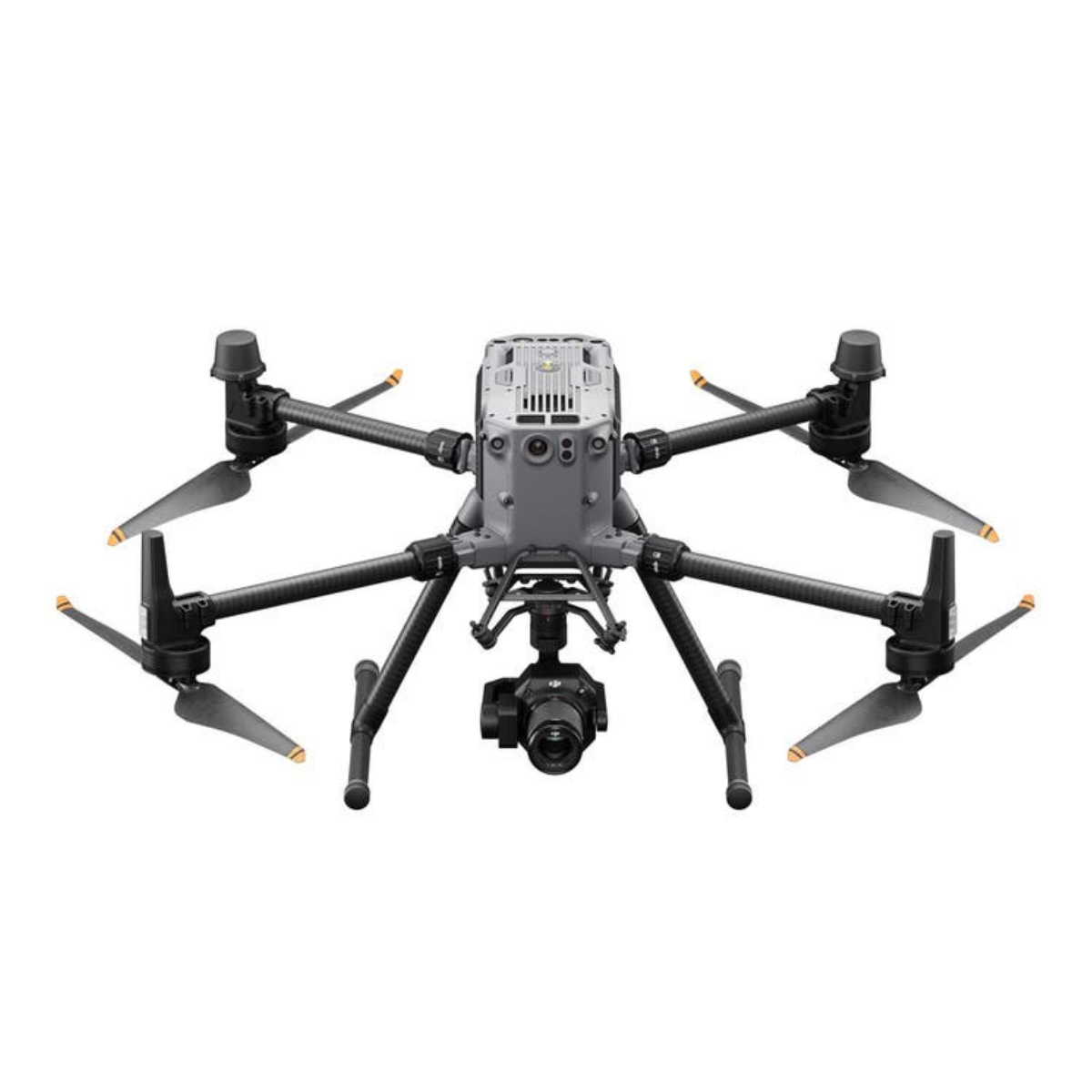
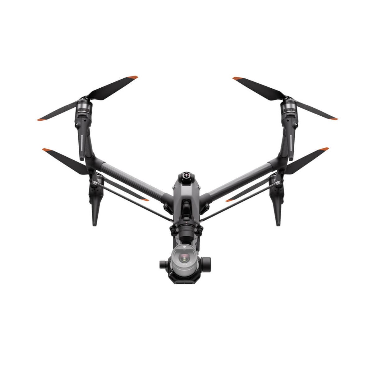 DJI Inspire 3
As low as $16,499.00
-
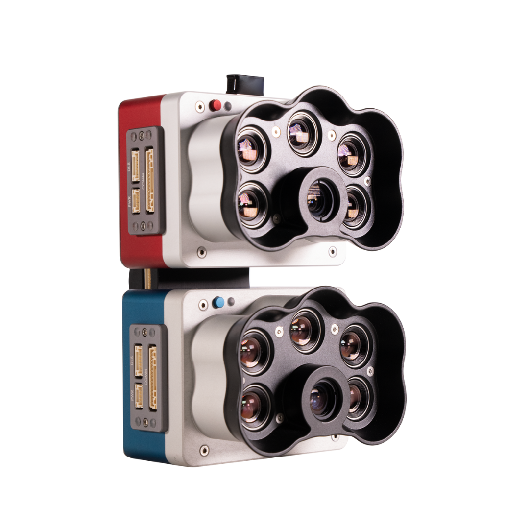 MicaSense RedEdge-P Dual Multispectral Kit$15,995.00
 -
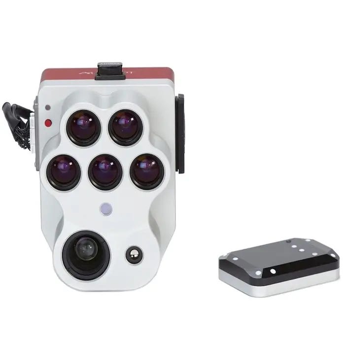
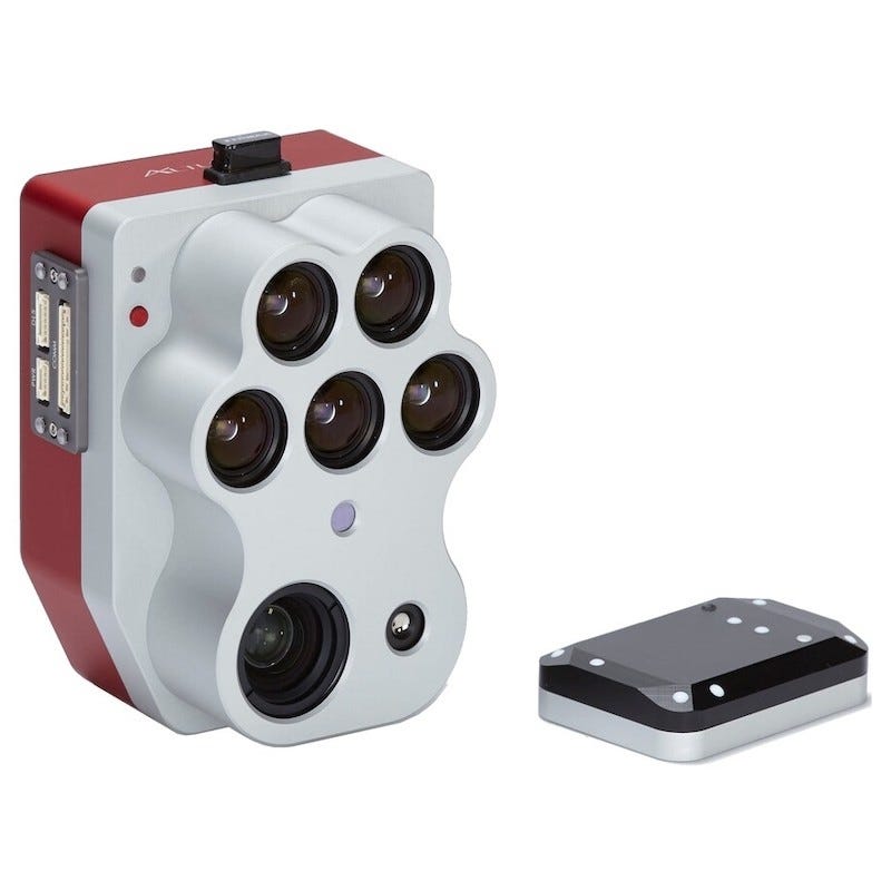 MicaSense Altum PT$15,995.00
 -
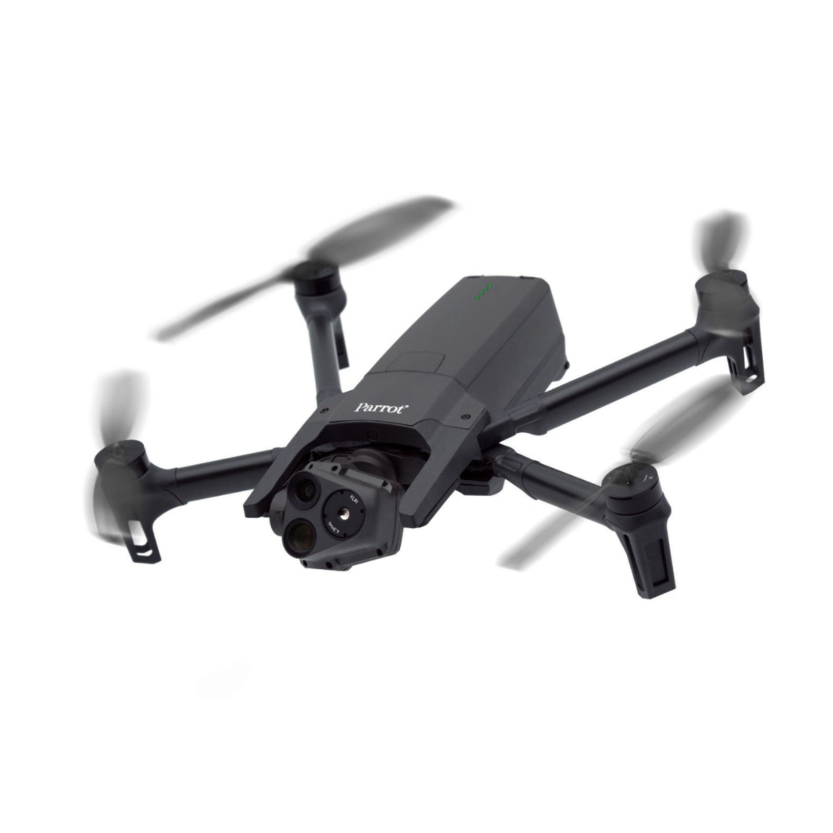 Parrot ANAFI USA GOV Edition$14,000.00
 -
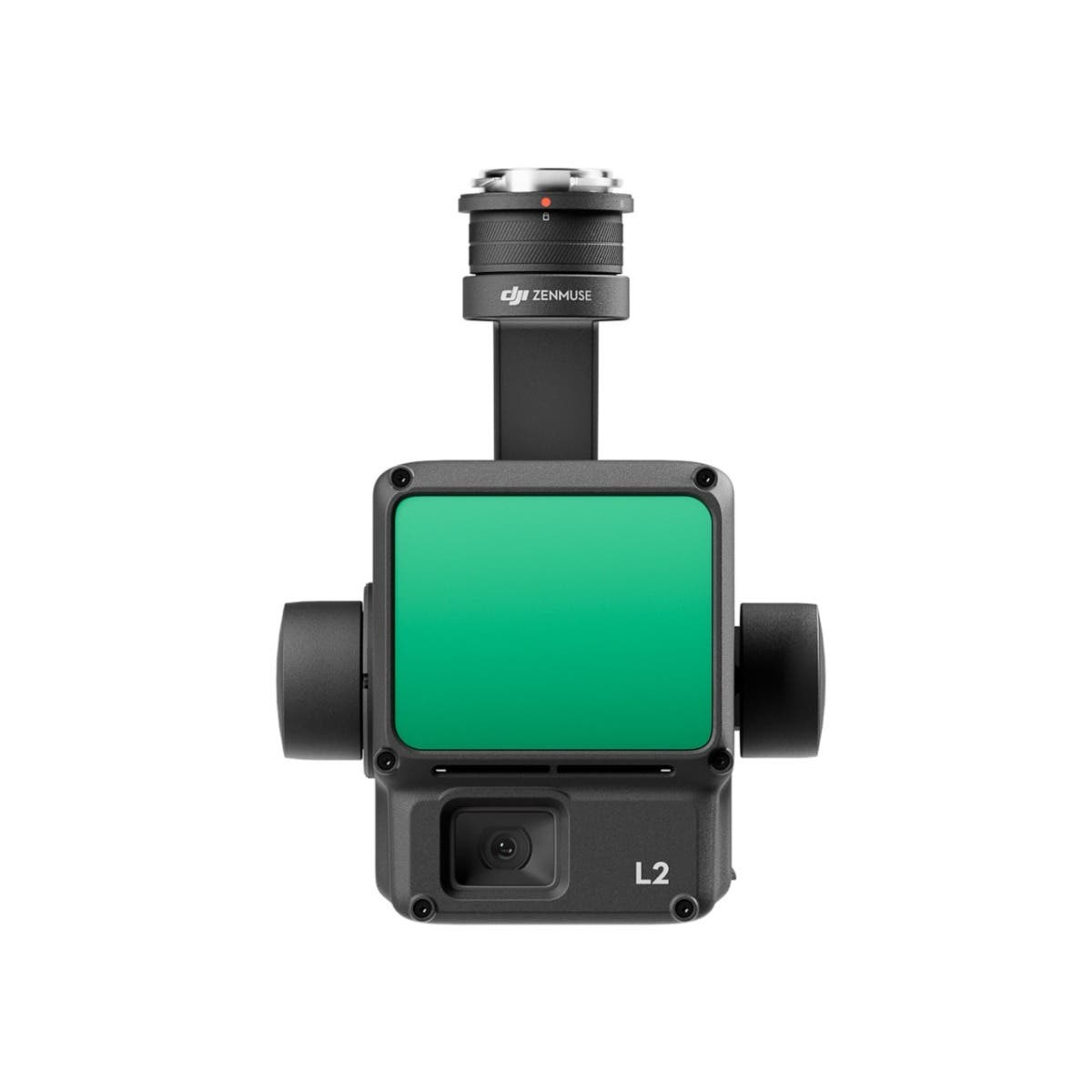 DJI Zenmuse L2 LiDAR Camera with Care Enterprise Plus
As low as $13,560.00
Why Dronefly is the #1 place to buy a drone
Founding and Early Achievements
Founded in 2011, Dronefly was one of the first e-commerce stores for drones. The original Dronefly owners were experienced cinematographers, who at the time were mounting film and video cameras to RC helicopters for aerial shots, Dronefly started in a garage with one mission in mind; to bring drones to the film industry.
Working on films such as Michael Bay's Transformers, Dronefly quickly grew to become a well-known name in the movie industry. Since starting out in the movie industry Dronefly has moved into the thermal, zoom, and smart farming drone sector. DJI Enterprise and commercial grade drones for police, farming, search and rescue, and industrial applications are Dronefly's specialty.
Diversification and Expansion
As Dronefly continued to evolve, its reach extended beyond the confines of the movie industry, tapping into sectors where drone technology could make a significant impact. The transition showcased the company's adaptability and innovative spirit in several ways:
- Diversification into New Sectors: Dronefly's foray into thermal, zoom, and smart farming drones marked a strategic shift. This move showcased its adaptability and innovation, catering to industries like precision agriculture. Drones became instrumental for crop monitoring and health assessment, revolutionizing traditional farming methods.
- Broadening Market Presence: This strategic shift not only expanded Dronefly's market presence but also positioned it as a key player in the integration of drone technology in everyday business operations. By tapping into new sectors, Dronefly showcased its commitment to leveraging drone technology for diverse applications.
Commitment to Customer Service and Support
Dronefly's commitment to customer service and support became a cornerstone of its business model, underlining the importance of comprehensive after-sales service:
- Building a Robust Support Team: Recognizing the importance of after-sales service, Dronefly invested in a robust support team capable of assisting customers with technical issues, maintenance, and operational guidance.
- Fostering Customer Loyalty: This emphasis on customer satisfaction helped in building a loyal customer base and established Dronefly as a trusted partner for businesses and professionals seeking reliable drone solutions.
- Continuous Innovation: By continuously updating its product lineup with the latest drone technology and focusing on sectors with high growth potential, Dronefly not only sustained its early success but also set the stage for future innovations in the rapidly evolving drone industry.
Through strategic diversification and a steadfast commitment to customer service, Dronefly has not only sustained its position in the market but has also paved the way for future innovations in the dynamic drone industry.