The United States’ Federal Aviation Administration (FAA) has jurisdiction over airspace and is responsible for making sure that air traffic flies smoothly, efficiently, and safely. Anyone operating a drone (UAS) must follow FAA regulations and should know where one can and cannot fly. In this article, we will walk through two different resources produced by the FAA to ensure hobbyist all the way up to industrial drone operators know where it is safe to fly.

The FAA’s Visualize It map makes it simple to see where airports, military training bases, and national monuments are located. Once the webpage is loaded type in the city or location into the search bar at the top of the page. The site will take you to the area you have requested and overlay airspace data.  This map, is particularly helpful since it shows the different flight ceilings (it’s not always 400 ft). In the past, you would have to be very familiar with sectional charts and airspace classification, but now all that data is overlayed on an easy to follow quadrant by quadrant web-based map.

What if There are Flight Restrictions?

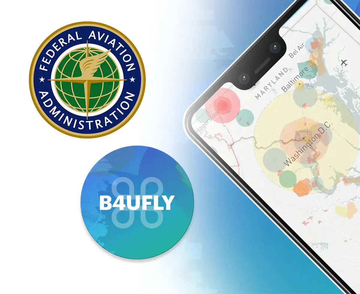
NOTAMS (notices to airmen) and TFRs (Temporary Flight Restrictions) are alerts for airspace users, which means drone operators. These flight restrictions can be issued out for many reasons such as rocket launches, military exercises, and airplane flights by heads of state. The FAA has made a smartphone application called B4UFLY which helps drone (UAV) operators determine if there are any restrictions in effect at the drone flight location. 

This makes it easy to stay up to date with current air traffic restrictions and no-fly zones right from your mobile device. This is important because if these restrictions are not followed it can lead to heavy fines and even jail time. Stay aware!

Can I Sell My Drone Pictures and Videos?

If you want to sell your amazing drone content you must get an FAA Remote Pilot Part 107 Certificate. In order to get this certification, you must pass a 60 question multiple choice aeronautical knowledge test at an FAA-approved knowledge testing center. 

 In addition to passing the test you must be at least 16 years old, undergo a Transportation Safety Administration (TSA) security screening, and pay the $150+ testing fee. This test is designed to ensure that drone operators who are flying for business are doing so with an educated background of regulations, airspace classification, effects of weather on performance, aeronautical decision-making, and emergency procedures.

We here at Dronefly thank you for reading this blog post.  If you would like more information about how drones can be used for search & rescue (SAR), surveying, industrial inspection or for Firefighting please give us a call at 805-480-4033 or email alex@dronefly.com